

























































Today starts off warm and sticky in Tampa, with clear skies, temperatures hovering around 81°F, and a dew point in the mid 70s. It will not stay calm for long, as scattered showers and thunderstorms turn the day unsettled, delivering hit-or-miss bursts of heavy rain and gusty winds wherever they flare up.
What To Expect Monday
Scattered storms are likely before 10:00 a.m. today with additional scattered coverage through the early afternoon and a high near 92°F. South-southeast winds around 12 to 15 mph will gust into the mid 20s, and heat index readings could climb to about 101°F in sheltered inland spots. Most locations will see light rain totals, roughly a quarter to a half inch where storms form, but localized downpours can quickly cut visibility and trigger brief street flooding.
Beach And Boating Hazards
Tropical Depression No. 2 in the eastern Gulf is keeping Tampa on the stormier side of its bands, and that onshore flow is why beaches face a High Rip Current Risk through 8:00 PM EDT Tuesday, July 21, and why Small Craft Advisories remain in effect for coastal waters into Tuesday evening. According to the National Weather Service, rip currents can "sweep even the best swimmers away from shore," so follow lifeguard flags and posted warnings and do not enter the water when flags indicate danger. Boaters and kayakers should expect gusty southerly winds and elevated waves, and small vessels should consider staying in port until seas subside late Tuesday or Wednesday.
Commutes And Outdoor Plans
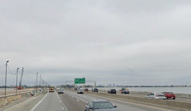
Plan for slower mid-morning to mid-afternoon travel as gusty storms can suddenly cut visibility and stall traffic on major corridors like I-275. If you have outdoor plans, try to schedule them for early morning or later evening when storm chances dip, and keep an eye out for frequent lightning in any thunderstorm. For more on the region's ongoing heat and how to stay safe, see our earlier coverage on Hoodline.





