

























































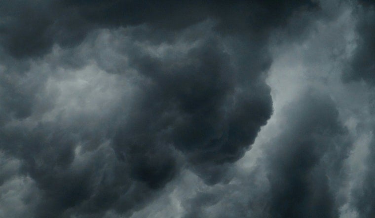
Skies turned threatening over much of East Tennessee on Tuesday afternoon as a severe thunderstorm watch locked in over Sevier County and its busy tourist towns. Local volunteer crews said they were watching the radar closely and staying ready to roll if storms pushed across Pigeon Forge, Sevierville, Kodak and Seymour. Officials warned that damaging wind gusts were the main concern and urged residents to tie down or bring in outdoor items and to steer clear of flooded roadways.
According to the Storm Prediction Center, Severe Thunderstorm Watch 526 was issued at 1:15 p.m. EDT Tuesday and was set to run into the evening through 8:00 p.m. EDT. The watch specifically lists Sevier County among the areas covered and notes that scattered damaging wind gusts, with isolated hail and a low tornado risk, are the primary hazards.
Local crews on alert
In a Facebook post, the Waldens Creek Volunteer Fire Department said its personnel were "monitoring conditions closely" and would be ready to respond across their coverage area and in mutual aid with Sevier County partners. The post urged people to secure outdoor items that could turn into projectiles, make sure they have a reliable way to receive weather alerts, move to a sturdy shelter if severe weather approaches, and never try to drive through flooded roadways.
County preparedness and safety reminders
Per the Sevier County Emergency Management Agency, residents are encouraged to sign up for CodeRED alerts and to treat swollen streams and creeks seriously after recent heavy rain. The article Soaked Smokies on Flood Watch highlighted similar cautions for the area and how quickly small waterways can rise.
What a watch means and how to prepare
The National Weather Service Morristown office stresses that a watch means conditions are favorable for severe storms and that residents should be ready to act quickly if warnings are issued. The office noted that a few storms could produce damaging winds. For a refresher on the difference between a watch and a warning, and basic safety steps, see NWS guidance on thunderstorm watches and warnings.
Tourism-heavy roads and park access points in the Smokies can become hazardous quickly during gusty storms, so local crews urged residents and visitors to postpone nonessential travel while the watch remains in effect. If you encounter downed power lines, flooding, or other hazards, call 911 and follow updates from local emergency accounts along with official NWS and county pages.



