

























































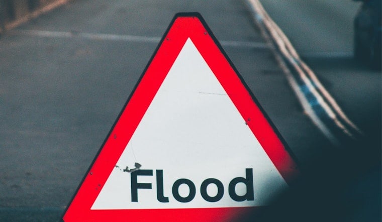
Wednesday morning, July 22, 2026, is starting off thick and soupy around Knoxville, with mostly cloudy skies near McGhee Tyson Airport, temperatures sitting around 79°F, and dew points lingering in the low 70s. Multiple clusters of showers and thunderstorms are marching across the region, bringing bursts of heavy rain that could bog down both the morning and afternoon drives. The main trouble spots to watch are low-lying streets and creek crossings, where water can rise fast.
Flood Watch Through This Evening
The National Weather Service in Morristown issued a Flood Watch early Wednesday that stays in effect through this evening for Knox County and a broad swath of east Tennessee. Forecasters warn that “flash flooding caused by excessive rainfall continues to be possible.” The watch spans dozens of counties and urges residents to keep up with later forecasts and be ready to move quickly if Flash Flood Warnings are posted.
When To Expect The Heaviest Rain
Showers and thunderstorms are most favored before noon, with another round eyeing the area from around midday into mid-afternoon and yet more storms possible this evening. High temperatures should top out near 85°F, with southwest winds running about 5 to 10 mph. Rainfall totals of roughly 1 to 2 inches are on the table, with higher local amounts where storms repeatedly track over the same neighborhoods. The late-morning and afternoon commute windows look most vulnerable to the heaviest downpours, when poor visibility and quick ponding on roads could make for tense travel.
Impacts And Tips
Low-lying streets, underpasses, and small creeks are the spots most likely to turn dicey, so do not drive through standing water and, if possible, park vehicles away from flood-prone curbs and hollows. For a reminder of how quickly things can go sideways in this kind of setup, revisit our July 13 sudden street-flood coverage. Keeping an emergency kit within reach, fully charging phones for alerts, and moving valuables to higher levels if you live in a known flood zone can help limit the damage.
Stay Updated
Stay tuned to local officials and the National Weather Service in Morristown for any Flash Flood Warnings or word of road closures. If you need to find shelters or cooling centers, call 2-1-1 first to confirm what resources are available nearby before you head out.





