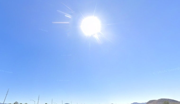
Las Vegas is starting the day under clear skies and a mild 77°F, but the break will be brief. Temperatures are set to rocket toward the triple digits by Thursday afternoon, putting the valley on a fast track to a full-on holiday heat wave with little relief after dark.
Forecasters expect highs near 100°F on Thursday, climbing to about 102°F on Friday and hovering around 105°F through the Fourth of July weekend. From there, the heat keeps building, with temperatures headed toward 108°F by Monday and into the low 110s by midweek. Sunny skies and afternoon south-southeasterly winds, with gusts at times in the 20 to 25 mph range, will keep fire danger elevated in some areas, especially with how dry it is. These trends are outlined by the National Weather Service.
Afternoon Winds And Fire Safety
Winds typically ramp up from early to mid-afternoon and ease quickly after sunset, with the strongest gusts over higher terrain. With fuels already very dry, that is a risky setup for brush fires. If you are grilling, keep a water source or fire extinguisher close by, and use extreme caution with fireworks during Independence Day get-togethers.
Cooling Centers And Public Safety
Clark County has opened daytime cooling stations across the valley for residents who need a break from the heat during the hottest parts of the day. Hours and locations can vary, so check before you head out. The county posts cooling station details on its website Clark County.
When To Be Outside
Outdoor plans will be safest in the early morning or after sunset, when temperatures back off a bit. If you are heading out, bring plenty of water, shade and sunscreen for everyone, especially pets and kids. The strongest winds are expected in the late afternoon, so for Fourth of July plans you may want to start that cookout earlier and have a backup plan if the breeze turns into a blustery evening.


