

























































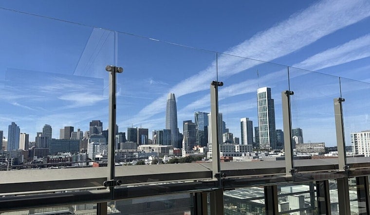
San Francisco woke up today to mostly clear skies and temperatures in the mid 50s, with a sun-filled afternoon on tap. Highs are expected to top out around 70–71°F before easing off a few degrees late in the day, while a steady west-southwest breeze builds across the city. Outdoor plans look bright, but it will feel plenty blustery near the water.
Afternoon Winds Crank Up
West southwest winds are forecast to increase to roughly 7–15 mph this afternoon, with typical gusts near 20–25 mph along the waterfront and on exposed hilltops. There is also about a 25% chance of gap-enhanced gusts near bridge approaches and ridgelines briefly reaching around 35 knots (about 40 mph). According to the National Weather Service San Francisco, this breezy onshore flow is expected to persist through Friday.
Boaters and Ferry Riders
Small craft advisories are in effect from about 9 AM to 9 PM for many bay and nearshore sectors today, and a gale warning will affect parts of the outer coast this afternoon into the evening. Expect choppy seas and localized gale-force gusts near Point Reyes and Point Sur. Recreational boaters are urged to avoid exposed waters and check the latest marine forecast before heading out, while commuter ferry riders should be ready for a rougher-than-usual ride on open stretches of the bay.
Fog Mornings, Sunny Afternoons
The marine layer may struggle to reform along the immediate coast this morning, with forecasters putting the chance at about 25%. If it does move in, it should thin and clear by late morning, setting up a sunny afternoon. By Friday, the marine layer is expected to deepen, bringing cooler coastal temperatures and more reliable morning fog.
Fire Weather Outlook
Recent warmth has dried fuels inland, and afternoon relative humidity could drop into the 10–20% range across higher elevations, a setup that raises the chance of additional fire starts today. The expected return and deepening of the marine layer into Friday should help reduce coastal fire concerns, but residents and crews in the hills should stay cautious and avoid outdoor burning while winds remain gusty.
Bottom line: it will be sunny and mild in most neighborhoods, but blustery near the water, so secure loose outdoor items, take care on bridge walks, and postpone nonessential burning in the hills. For the latest advisories and marine warnings, check the National Weather Service San Francisco before you head out.





