

























































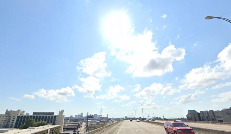
New Orleans is starting Wednesday clear and already muggy, with temperatures around 82 degrees before sunrise. The city is headed for a high near 93, and the heat index could reach 106 as afternoon humidity and sunshine turn up the pressure.
Afternoon Storms Could Briefly Break The Heat
Showers and thunderstorms may develop after noon, with the best chance arriving during the afternoon and a 40% chance of rain overall. Any rainfall should be spotty, with new amounts generally staying below a tenth of an inch, but a brief downpour or rumble of thunder could still disrupt outdoor plans.
The National Weather Service says storm chances are favored across southeast Louisiana, especially south and southwest of the tidal lakes where local breezes may collide. No watches, warnings or advisories are in effect for the area Wednesday morning, according to the National Weather Service.
Dryer, Hottest Stretch Arrives Thursday
Thursday should be sunny with another high near 93, followed by a hotter Friday and Saturday near 95. Sunday through Tuesday could reach about 96 each afternoon, while overnight lows remain stubbornly warm in the upper 70s to around 80.
Forecasters expect heat-index readings generally in the low 100s to near 110 through the end of the workweek, with readings possibly climbing into the lower 110s this weekend. With little rain expected after Wednesday, residents should limit strenuous activity during the hottest part of the day, drink plenty of water and check on anyone especially vulnerable to heat.



