

























































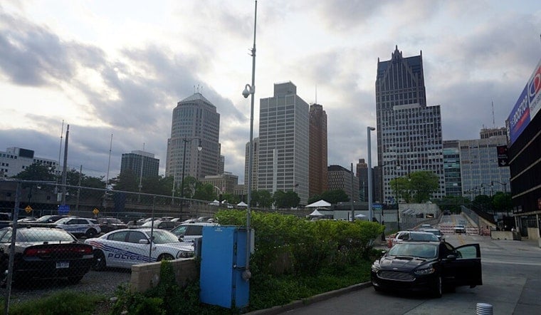
Detroit woke to clear skies and temperatures in the low 70s today, but the calm is on a short timer. The city is headed for a warm, humid afternoon with thunderstorms most likely arriving after lunch.
Storm Risk Builds After Lunch
Temperatures should climb to about 83 degrees before showers and thunderstorms become more likely between roughly 2 p.m. and 6 p.m., with another chance lingering into the evening. The National Weather Service Detroit/Pontiac says most winds will stay light at 2 to 6 mph, but stronger storms could bring damaging wind gusts, large hail and heavy rain.
The greatest storm potential is south of I-94 and generally south of I-96, where brief downpours could overwhelm urban and poor-drainage areas. Rainfall of a tenth to a quarter inch is possible, with heavier amounts in thunderstorms; no watches, warnings, or advisories are currently listed in the forecast.
Midweek Heat Gives Way To A Sunny Friday
Tomorrow looks mostly sunny and warmer, with a high near 85 degrees and a smaller chance of showers or thunderstorms after 4 p.m. Thursday stays mostly sunny with a high near 84, although forecasters are keeping a broad eye on another chance for storms.
The biggest reset arrives on Friday, when sunshine and a high near 80 pair with drier, less humid air. Friday night could feel distinctly cooler, dropping to around 59 degrees.
Weekend Plans Need A Backup
Saturday remains mostly sunny with a high near 78 and only a slight chance of showers during the day, but storm chances increase Saturday night. Next Sunday brings a high near 82 with showers and thunderstorms possible before and after 2 p.m., followed by another chance Sunday night.
For today, outdoor plans are most vulnerable during the afternoon and early evening, when storms may develop quickly. Bring loose items indoors, keep alerts enabled, and move inside at the first sound of thunder, especially if a downpour starts over city streets.




.jpg)