

























































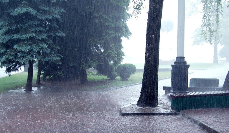
Seattle is starting Saturday with light rain, gray skies, and temperatures near 57 degrees. Showers will continue through the morning, with a few thunderstorms possible before the weather gradually settles down tonight.
Saturday Starts Wet, Then Dries Out
Rain and thunderstorms are likely early Saturday, followed by additional chances of rain and showers through late afternoon. The high should reach about 69 degrees, with light south winds and rainfall totals between a tenth and a quarter-inch, according to the National Weather Service.
A few thunderstorms are possible, particularly east of Puget Sound, while a convergence zone could keep showers lingering north and northeast of the city. Boaters should take extra care: a Small Craft Advisory is in effect from 2 p.m. Saturday to 1 a.m. Sunday for the central and eastern Strait of Juan de Fuca.
Sunday And Monday Offer A Brief Reprieve
Saturday night turns mostly cloudy with a low near 55 degrees and little chance of rain. Sunday stays mostly cloudy with a high near 70, followed by a warmer and mostly sunny Monday topping out around 73.
That gives Seattle a short window for outdoor plans before the next system arrives. Patchy morning fog or low clouds could still make for a damp start in some spots, but the weekend’s second half should be considerably calmer than Saturday.
Midweek Brings A Bigger Weather Turn
Clouds return Tuesday, with a chance of rain after 5 p.m. Rain becomes likely Tuesday night and continues Wednesday, when temperatures fall to around 65 degrees and winds increase to roughly 9 to 13 mph.
Thursday remains cool and unsettled, with rain likely and a high near 65. The latest forecast discussion says Seattle could receive more rain from the midweek system in less than 24 hours than it has seen during the previous two and a half months, though the exact totals remain uncertain.
The sharper turn toward storms Saturday and heavier rain Wednesday is a notable update from Hoodline’s earlier Seattle forecast, which described a milder weekend setup. For now, keep the rain jacket close Saturday, enjoy Sunday’s relative calm, and expect a much wetter commute next Wednesday.




