

























































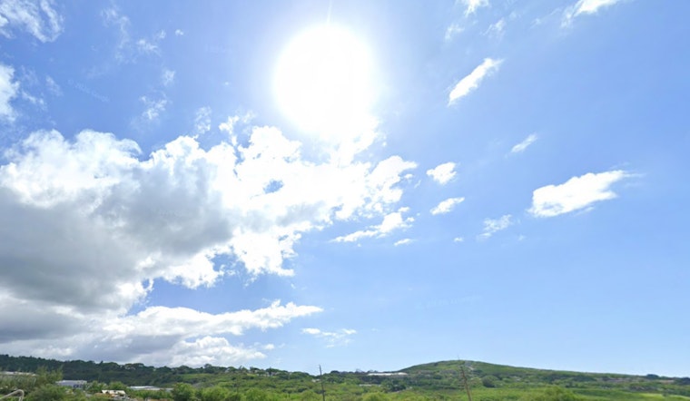
Honolulu is opening Monday under mostly cloudy skies, scattered showers and temperatures around 76°F early in the morning. The city should warm to about 85°F, with breezy east-northeast winds making the day feel more active than the thermometer suggests.
Showers are most likely during the morning, then should become more isolated around midday and into the afternoon as partly sunny skies develop. Winds will run near 16 mph, with gusts reaching 23 mph, and the chance of rain is around 40%, according to the National Weather Service Honolulu.
Winds Ease Through Midweek
Tuesday brings another warm day with a high near 85°F, but winds should ease to 7 to 12 mph. Wednesday and Thursday will stay partly sunny with highs near 86°F, while scattered showers remain possible and could become a little more noticeable across western parts of the state.
By Friday, the trades are expected to strengthen again, reaching 14 to 17 mph with gusts up to 23 mph. Saturday and Sunday look warmer, with highs near 87°F, mostly sunny periods and lower rain chances of about 30% Saturday and 20% Sunday.
Windward Showers And Choppy East Shores
Clouds and showers will favor windward and mauka areas, so some neighborhoods may get a quick wet stretch while others see more sunshine. Drivers should watch for slick roads and brief visibility drops where showers pass through, especially near the mountains.
East-facing shores will remain rough and choppy, although conditions should gradually ease as the trades weaken. The Small Craft Advisory has been canceled, south-facing surf should stay below seasonal averages until a small swell arrives Saturday, and north- and west-facing shores will remain flat to tiny, according to the National Weather Service Honolulu.





