

























































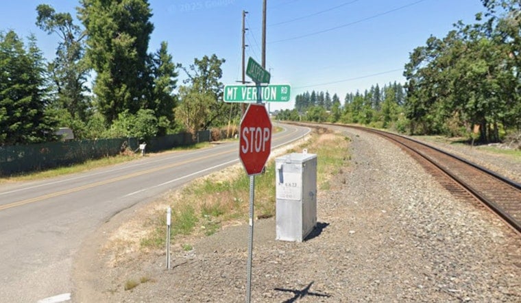
A grass fire sparked by construction work tore through roughly 10 acres of dry grassland on Springfield's southeastern edge Wednesday afternoon, coming within 50 to 100 feet of nearby homes before firefighters stopped its forward march. Evacuation orders remained in place for residents near the intersection of Mount Vernon and Jasper roads even after crews halted the flames, as fire personnel worked to clear lingering hazards from the area.
Eugene Springfield Fire received its first calls about the blaze at 1:15 p.m. Wednesday, according to Lookout Eugene-Springfield. The fire prompted Level 3 “Go Now!” evacuations near southeast Springfield, according to Oregon Public Broadcasting, with Lane County Sheriff's Office deputies evacuating homes north of the Mount Vernon and Jasper intersection along Ivy Street, Pinehurst, 54th, 55th, and Holly Street. The stretch of Mount Vernon at 57th Street was closed to all traffic as crews worked the scene, per the same report.
Fire crews were on scene working to protect homes and contain the fire, and officials confirmed the fire's forward progress had been stopped, per the Watchduty app, as cited by OPB. Smoke in the area had decreased significantly, according to a University of Oregon Hazards Lab camera feed referenced in that report. Even so, evacuation orders stayed active — not because structures remained in immediate danger, but as a precaution while crews mitigated hazards on the ground, according to KVAL.
How the Fire Started and How Big It Got
Eugene Springfield Fire Chief Mike Caven later confirmed that construction work ignited the blaze, and that it ultimately burned approximately 10 acres — far larger than initial estimates of 3 to 4 acres reported as the fire was still developing, per the outlet's coverage. The fire came within 50 to 100 feet of nearby homes before crews stopped its spread, Caven said, according to the same source.
The blaze burned along Springfield's southeastern urban fringe near the base of the Thurston Hills Natural Area, a stretch where dense suburban neighborhoods sit directly against dry grasslands and wooded rural acreage, according to That Oregon Life. That geography helps explain how quickly the fire could threaten homes once it took hold. Just three days earlier, on August 9, Eugene Springfield Fire had responded to a separate incident on the same Jasper Road corridor, when a house fire spread into surrounding vegetation before being contained, the outlet reported.
Mutual Aid Stretched Thin Across Lane County
The Oregon Department of Forestry's South Cascade District sent two fire engines, one bulldozer, and overhead supervisory staff to assist local crews, according to Lookout Eugene-Springfield. That mutual aid arrived as regional firefighting resources were already stretched across Lane County, with crews simultaneously battling the 55-acre Harness 1310 Fire south of Cottage Grove and the 3,613-acre Castle Fire, per KVAL.
Responders said they would continue to monitor conditions for any possible expansion of the evacuation zone as work continued at the scene, per OPB's reporting, which was originally published by KLCC as part of the Northwest News Network. Residents in the area were asked to avoid the vicinity while crews worked.
A Historic Fire Season Statewide
The Springfield fire landed in the middle of what officials say is Oregon's most severe wildfire season in recorded history, measured by total acreage burned, according to OPB. Statewide data from the Oregon Department of Forestry as of July 30 showed human activity was behind 537 of the 1,332 wildfires reported so far this season, according to KGW.
It remains unclear whether the construction activity that sparked the Springfield fire will face any citation or formal investigation, and fire officials had not yet said when remaining evacuation restrictions near Mount Vernon and Jasper roads might be lifted. For now, residents in the affected neighborhoods are being urged to stay alert and avoid the area as crews continue working to secure the scene.





