

























































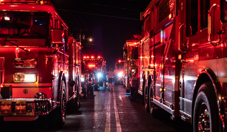
A new wildfire dubbed the Cristo Fire broke out Thursday evening on federal land in the Angeles National Forest, and as of early Friday morning, firefighters had not determined what sparked it or how much of the forest it had consumed. The blaze was first detected at 7:22 pm Thursday in Los Angeles County, according to the National Interagency Fire Center, with containment status still listed as unknown hours later.
The fire is burning on land managed by the U.S. Forest Service, as reported by the Sacramento Bee, which cited the National Interagency Fire Center's initial incident report. The cause of the ignition has not been determined, and the report offered no acreage figure or containment percentage as of its last update Thursday night. Fire names are typically chosen by dispatchers using nearby geographic landmarks to avoid confusion with other active incidents in the region, according to Wildfire World, which points to the Monte Cristo Fire Station and Monte Cristo Campground along the Angeles Forest Highway as the likely namesakes and general point of origin for the new blaze.
A Forest With a Painful Fire History
The Monte Cristo area carries grim significance for Southern California firefighters. During the catastrophic August 2009 Station Fire, which burned more than 160,000 acres and remains one of the largest wildfires in Los Angeles County history, the Monte Cristo Fire Station in Big Tujunga Canyon and nearby firefighter housing were destroyed, according to Wildfire Today. That history underscores the vulnerability of the same stretch of backcountry now facing the Cristo Fire.
The Angeles National Forest spans roughly 655,000 acres across the San Gabriel and Sierra Pelona Mountains and is administered by the U.S. Forest Service, which maintains its regional headquarters in Arcadia. Established in 1908, the forest serves as a critical watershed and open-space buffer for more than 10 million Los Angeles County residents, per the agency's own records. That federal ownership is why the Forest Service holds primary jurisdiction over land management and suppression decisions on the fire, even as county resources move in to help.
Why Early Reports Leave So Many Blanks
Readers scanning the initial bulletin on the Cristo Fire may notice how little is confirmed: no acreage, no containment percentage, no cause. That is because automated wildfire briefs like this one are generated by pulling real-time data directly from the federal Integrated Reporting of Wildland-Fire Information system and the National Interagency Fire Center, which push updated incident points every 15 minutes, according to Geospatial Training Services. Those feeds publish raw dispatch data before ground crews have completed damage assessments or mapped containment lines, which explains the gaps in Thursday night's report.
Even though the Forest Service holds primary authority over the land, a statewide mutual aid framework allows other agencies to respond fast. Under the California Fire Master Agreement, renewed in December 2025 between CAL FIRE and the U.S. Forest Service's Pacific Southwest Region, Los Angeles County Fire Department engines and aircraft can join initial attack operations on federal land without waiting for a formal request, according to the California Wildfire and Forest Resilience Task Force.
Part of a Busy Fire Season in the San Gabriels
The Cristo Fire is the latest in a string of federal land ignitions to hit Los Angeles County this year, following the Whitaker Fire in May and the National Fire on August 10, which Hoodline covered in its Hoodline report on that ignition. Late-summer dry vegetation across the San Gabriel Mountains has repeatedly turned small sparks into fires requiring immediate air and ground mobilization this season.
Nationwide, wildland fire activity has run well above the 10-year historical average in 2026, with the National Interagency Fire Center logging more than 22,600 fires and 1.8 million acres burned across the country by late spring. That surge has strained shared aviation assets and interagency crews across the West, a dynamic that shapes how quickly resources can be redirected to smaller backcountry starts like the Cristo Fire.
Los Angeles County crews were already stretched thin in the weeks before Thursday's ignition. The 100-acre Ridge Fire along Gorman Post Road broke out on August 7, and the Tasha Fire ignited near Newhall Pass the following day, both along key transportation corridors that see frequent brush ignitions from dry roadside vegetation and vehicle sparks.
Foothill Communities Remain on Edge
The stakes for nearby foothill communities are steep. Data from ClimateCheck shows roughly 94% of structures in areas bordering the Angeles National Forest, including Santa Clarita, face a very high risk of wildfire damage due to steep topography and dense surrounding chaparral, terrain that can accelerate a fire's initial spread through mountain canyons.
Los Angeles County leaders have moved to address that long-term exposure. In July, the county approved a $245 million infrastructure financing district while directing $200 million in state recovery funds toward hardening public utilities and undergrounding power lines in burn-prone areas. For now, though, the immediate questions around the Cristo Fire, its size, its cause, and how close it may come to containment, remain unanswered as crews continue to assess the scene.





