

























































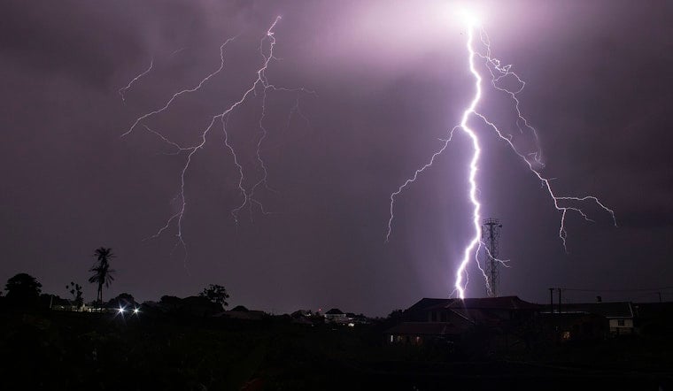
Washington is waking up to mostly cloudy skies and temperatures around 74 degrees Thursday, but the calm start is expected to give way to a potentially rough afternoon. Showers and thunderstorms become more likely after midday, with the greatest threat arriving between 2 p.m. and 8 p.m. The strongest storms could bring heavy rain, damaging wind gusts and dangerous lightning across the District and nearby communities.
Storms Peak During The Afternoon Commute
The National Weather Service Baltimore/Washington office puts the chance of rain at about 80% Thursday, with storms becoming more numerous from the afternoon into early evening. The heaviest downpours could drop between a half-inch and three-quarters of an inch of rain, while some storms may produce much stronger bursts in a short time, according to the National Weather Service.
Damaging straight-line winds are the main concern, with gusts of 40 to 55 mph possible in more widespread storms and isolated gusts reaching 55 to 70 mph in the strongest cells. A brief tornado cannot be ruled out, and intense rain could quickly reduce visibility or overwhelm poor-drainage streets, particularly in urban areas. There are no watches or warnings posted for the District in the current forecast package, though a Small Craft Advisory is in effect on nearby waters from 2 p.m. to 8 p.m.
Friday Brings A Short-Lived Break
Friday should be mostly sunny with a high near 82 degrees and only a 30% chance of late-day showers or thunderstorms. The break will be brief, as rain chances rise Friday night, when showers and thunderstorms are expected to become likely with a low around 70.
Stormy Weekend Gives Way To Drier Weather
Saturday remains unsettled, with showers and thunderstorms likely, mostly cloudy skies and a high near 84 degrees. Sunday looks brighter and warmer near 85, but a 30% chance of afternoon storms remains, especially after 2 p.m.
The pattern finally settles down Monday, which is expected to be sunny with a high near 83, followed by a mostly clear night near 65. Tuesday should stay mostly sunny near 84, with northwesterly winds bringing noticeably drier and less humid air than Thursday and the stormy weekend. That shift marks a meaningful change from the repeated storm threats covered in an earlier Hoodline forecast.
Anyone heading out Thursday afternoon should keep weather alerts on, allow extra time for sudden downpours and avoid driving through standing water. If thunder is audible, move indoors and stay there until the storm passes.





