

























































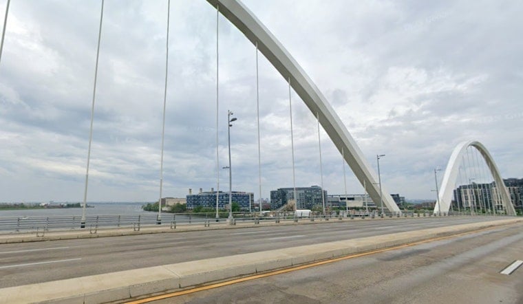
Light rain was falling across Washington early Saturday as temperatures hovered around 70 degrees, with a gray, unsettled day ahead. Showers and thunderstorms could continue through the afternoon, and some downpours may be heavy enough to disrupt outdoor plans and slow travel.
The National Weather Service puts Saturday's chance of precipitation at 70%, with showers possible before 8 a.m., thunderstorms late this morning, and scattered storms continuing into the afternoon. Rain totals could reach three-quarters of an inch to 1 inch, while some areas southeast of Interstate 95 may see higher amounts.
Heavy Rain Threat Stays Uneven
The heaviest rain is expected to favor areas southeast of the I-95 corridor, but the forecast discussion says the flooding risk would rise if that axis shifts north into the metro area. Isolated flash flooding remains possible in an especially intense downpour, although no watches, warnings or advisories are currently posted for Washington.
Sunny Turn Arrives Sunday
The pattern flips quickly Sunday, bringing mostly sunny skies and a high near 84 degrees. West winds may gust as high as 18 mph, followed by a sunny Monday near 82 and another sunny Tuesday near 84, with overnight lows dipping into the low and mid-60s.
That brief break is a substantial change from the heat-and-storm setup outlined in an earlier Hoodline forecast. The cooler, drier stretch should make for a much friendlier run of outdoor weather across the District.
Heat And Storm Chances Return Midweek
Mostly sunny weather continues Wednesday, when temperatures climb near 87 degrees. Shower and thunderstorm chances rise again Thursday, with a high near 86, before Friday reaches about 88 degrees with another chance of rain and storms.
For Saturday plans, keep rain gear close and allow extra time for slick roads and sudden downpours. If thunder moves in, head indoors and avoid driving through standing water.



