

























































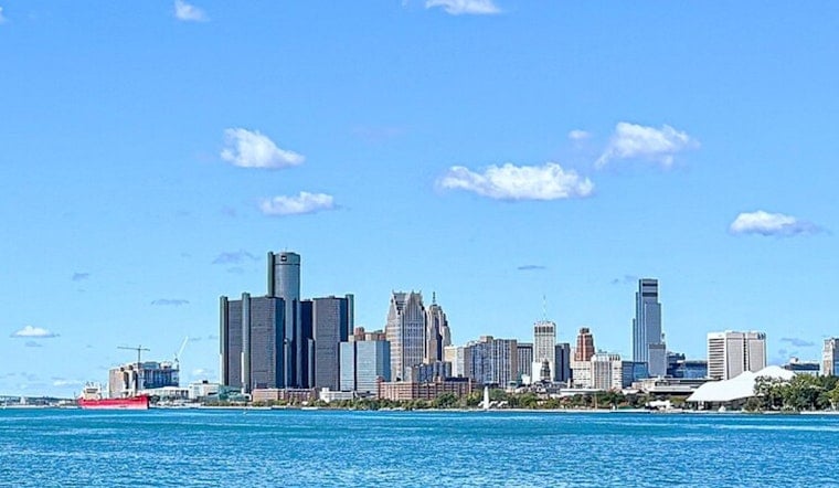
Detroit woke this morning to clear skies and temperatures around 63 degrees, with a much warmer afternoon ahead. Sunshine should push the thermometer to about 84 degrees, and rain is not expected as southwest winds stay light. It is the kind of low-drama summer day that makes the later forecast feel a little more dramatic.
Sunny Tuesday And Wednesday
Tonight should remain mostly clear, with a low near 63, before tomorrow brings another sunny day and a high around 88. Southwest winds will generally stay between 1 and 8 mph, while no watches or warnings are currently listed for the area, according to the National Weather Service Detroit/Pontiac.
Storms Arrive Thursday
The next meaningful rain chance arrives late tomorrow night and Thursday. Showers could begin Thursday morning between 8 and 11 a.m., followed by a higher chance of showers and thunderstorms through the afternoon, with precipitation chances near 60% and a high around 85.
Thursday night stays unsettled, with showers and thunderstorms likely and a low near 66. The National Weather Service says severe weather is not expected at this time, but lightning and downpours could still complicate outdoor plans and evening travel.
Sunny Saturday Before Another Turn
Friday may start with showers and thunderstorms before 8 a.m., followed by a lower chance of additional storms and a high near 85. Saturday looks mostly sunny and warm near 88, giving Detroit a brief reset before Sunday reaches about 90 with a slight chance of showers and thunderstorms.
Rain chances remain in the forecast next Sunday night and Monday, when scattered showers and storms could return. For outdoor plans, tomorrow and Wednesday offer the clearest stretch, while Thursday and early Friday carry the week’s biggest weather interruptions.




