

























































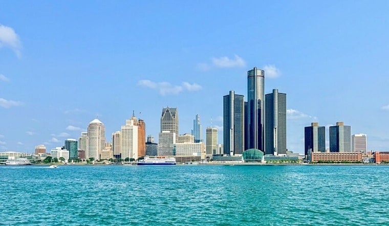
Detroit is waking to clear skies and a mild 66°F today, but the calm setup will not last through the night. The city should reach 86°F under sunny skies before showers and thunderstorms become likely after dark.
The best window for outdoor plans is the afternoon, when south winds will run from 1 to 10 mph and rain chances stay near zero. The National Weather Service Detroit/Pontiac says conditions will turn more unsettled this evening as storms move toward southeast Michigan.
Storms Arrive After Dark
A slight chance of showers and thunderstorms arrives between 8 and 9 p.m. today, followed by a 70% chance of storms overnight. Some storms could produce heavy rain, with roughly a half-inch to three-quarters of an inch possible.
The strongest cells may bring damaging wind gusts and hail. Repeated storms over the same neighborhoods could also cause localized flash flooding, especially in urban areas and communities south of I-96.
No watches or warnings are currently in effect, but evening plans should include a way to receive weather alerts. Drivers should never attempt to cross a flooded roadway, even if the water appears shallow.
Storm Chances Linger Into Midweek
Tomorrow could begin with a chance of showers and thunderstorms before 7 a.m., with a smaller chance lingering through about 8 a.m. Skies should turn partly sunny later, with another high near 86°F.
Storm chances return tomorrow night at about 50% and continue into Tuesday, when showers and thunderstorms could develop through the day. Wednesday looks mostly sunny at first, followed by another chance of storms after 2 p.m.
Conditions become more settled late in the week, with mostly sunny skies and highs near 81°F on Thursday, 79°F on Friday, and 76°F on Saturday. Overnight lows should fall to around 60°F on Thursday night and 59°F on Friday night.




