

























































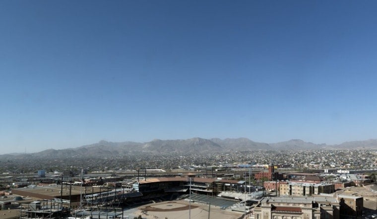
El Paso is starting Saturday mostly clear and around 79 degrees, but the calm morning is expected to give way to a hotter, stormier afternoon. Highs will reach near 100 degrees, with thunderstorms bringing a risk of damaging winds, hail, and flash flooding.
Saturday Storms Could Turn Severe
The National Weather Service in El Paso/Santa Teresa forecasts a slight chance of showers and thunderstorms after 4 p.m., with a 20% chance of rain and east-southeast winds near 8 mph. The agency’s latest discussion says scattered to numerous storms could develop across the region, with outflow gusts topping 58 mph and isolated hail measuring at least 1 inch possible, according to the National Weather Service.
A Flood Watch is in effect from noon through Saturday evening for much of El Paso County, including eastern, central and western parts of the county, as well as nearby flood-prone areas. Excessive runoff could flood rivers, creeks, streams and low-water crossings, so drivers should never attempt to cross water covering a roadway.
Storm Chances Continue Into Saturday Night
Showers and thunderstorms remain possible Saturday night, with a 30% chance of rain before 4 a.m. Sunday. Skies will turn mostly cloudy, and temperatures should fall only to around 76 degrees, keeping the overnight hours warm even if storms pass through.
Triple-Digit Heat Returns Monday
Sunday looks sunnier and slightly cooler, with a high near 98 degrees and little chance of rain. The heat then ramps back up Monday, when temperatures are expected to reach 101, followed by 103 on Tuesday and highs near 100 to 102 through Friday.
Storm chances become more limited after Saturday, generally favoring the mountains and western areas while El Paso’s lowlands trend mostly sunny. Residents should continue checking updated forecasts through the weekend, especially before traveling near low-water crossings or heading outdoors during the afternoon heat.




