

























































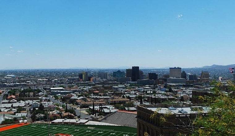
El Paso was around 77 degrees early Monday with northeast winds near 17 mph, but the day is headed for sunny skies and a high near 101. Afternoon winds should ease to 3 to 7 mph, while the chance of rain remains close to zero across the city.
Tuesday Looks Hottest
Temperatures climb to around 103 Tuesday, with heat index values reaching as high as 99. Wednesday stays near 102, then highs ease slightly to 101 Thursday, 100 Friday, 99 Saturday and 100 Sunday. Overnight lows remain in the upper 70s, offering only limited relief after sunset.
Rain Stays Mostly West
The latest outlook from the National Weather Service keeps rain chances minimal in El Paso through Wednesday, with slight chances arriving late Thursday and Friday night. Storm activity is more favored west of the Rio Grande and in the Gila region, though distant storms could still send brief wind shifts into the city.
Plan Around The Afternoon Heat
Outdoor work, exercise, and errands will be more manageable early in the day, before temperatures reach their peak from midafternoon into early evening. Drink water regularly, take frequent breaks in air conditioning or shade, and never leave children or pets in a parked vehicle.
For residents needing a cool indoor place, the City of El Paso’s heat safety guidance lists free cooling stations, including Galatzan Recreation Center and Valle Bajo Community Center. Check the city’s current schedule before heading out, and call 911 immediately for signs of heat stroke such as confusion, fainting, or loss of consciousness.




.jpg)