

























































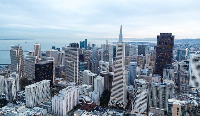
San Francisco is waking up today to a cool, mostly cloudy morning near 58 degrees, with a small chance of drizzle before late morning. The clouds should break into partly sunny skies, but this is no beach-towel forecast: The city is headed for a high near 65, with temperatures slipping toward 63 later in the afternoon.
Drizzle Fades As Winds Pick Up
Drizzle odds are around 20% through late morning, then drop sharply as the marine layer retreats toward the coast. West-southwest winds will build from about 8 to 16 mph, with gusts up to 24 mph, according to the National Weather Service San Francisco.
Tuesday Stays Cool Before Brighter Skies
Tomorrow repeats the early drizzle possibility, followed by mostly sunny skies and a high near 67. Wednesday and Thursday should be mostly sunny in San Francisco, with highs around 69 and overnight lows in the upper 50s.
Patchy fog could return late Wednesday night into early Thursday morning, especially near the coast and other fog-prone neighborhoods. The broader North Bay has a better chance of light rain beginning tomorrow, while San Francisco's forecast remains mostly a drizzle-and-clouds situation.
Cooler Pattern Holds Through The Weekend
Friday and Saturday should top out near 65 under mostly sunny skies, with lows around 56. Next Sunday nudges back toward 68, but the week remains firmly in jacket territory after sunset.
Small Craft Advisories Cover Nearby Waters
There are no land-based watches or warnings for San Francisco. The National Weather Service has a Small Craft Advisory for the northern San Francisco Bay from 9 AM today to 3 AM tomorrow, along with a separate advisory for Monterey Bay from 3 to 9 PM today.





.jpg)