

























































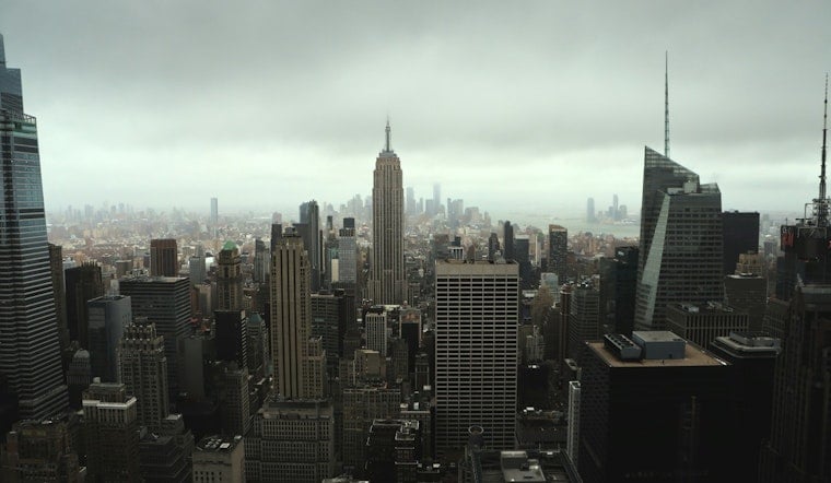
New York City woke to a soggy, foggy Tuesday, with heavy rain, thick moisture and visibility of roughly 1.75 miles reported at the city’s KNYC observation station. Temperatures were around 72 degrees early, and the damp start could make for a messy morning commute.
Rain chances ease through late morning, with skies turning partly sunny by midday and afternoon temperatures climbing into the low and mid-80s. Winds should stay light, generally shifting from the north and northwest at about 3 to 6 mph, while a few isolated showers remain possible later in the afternoon.
Sunny Wednesday Offers A Brief Break
Wednesday is expected to be the week’s cleanest weather day, with sunshine and a high near 86 degrees. The next wave of unsettled weather arrives Thursday, when showers and thunderstorms become likely, especially from the afternoon into the evening, with a 60% chance of precipitation and up to a quarter-inch of rain possible.
The National Weather Service’s New York office says a front may stall near the region from Thursday into the weekend, setting up repeated chances for rain. Forecast amounts remain uncertain, but a wetter scenario could bring 1.5 to 2.5 inches during the heaviest 24-hour period; forecasters currently consider that outcome unlikely, according to the National Weather Service.
Beachgoers Should Watch The Surf
There are no watches or warnings posted for New York City, but ocean swimmers should use extra caution Tuesday. The lingering swell could create periods of high rip-current risk during the mid-to-late afternoon, particularly as the tide moves out, so sticking near lifeguards is the smart move.
Showers May Hang Around Through Sunday
Friday brings partly sunny skies with a slight chance of showers and a high near 81 degrees. Saturday looks cooler, near 79, with a 50% chance of rain, while Sunday could bring another round of likely showers and thunderstorms before sunnier, cooler conditions return Monday.





