

























































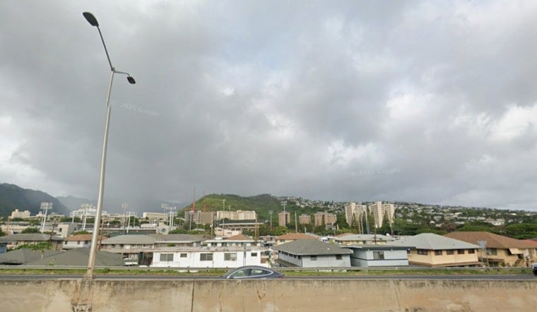
Honolulu is in for a warm, breezy Sunday, with scattered showers, a high near 86 degrees and east-northeast gusts up to 24 mph. Along the shoreline, minor flooding is possible around afternoon high tides through Tuesday, adding a practical wrinkle to beach, boat-ramp and low-lying-road plans. Forecasters are also watching a tropical disturbance east-southeast of the islands, although it is far too early to say what it might do locally.
Showers And High Tides Lead Sunday
Sunday’s showers should be most frequent along windward areas and higher terrain, while Honolulu gets a partly sunny mix and a warm afternoon. The chance of rain is about 40%, with new rainfall generally expected to stay between a tenth and a quarter inch. East-northeast winds will run 9 to 17 mph, with gusts up to 24 mph.
Minor Coastal Flooding Possible Through Tuesday
A Coastal Flood Statement remains in effect through Tuesday evening because peak monthly tides are combining with water levels running higher than expected in some locations. The National Weather Service Honolulu office says vulnerable low-lying roads, docks, boat ramps and normally dry beaches could see minor saltwater flooding during the afternoon high tide. Drivers should not enter flooded roadways, and shoreline property owners should move valuables and vehicles to higher ground when needed.
Monday Stays Warm Before A Drier Midweek
Monday will look similar, with scattered showers, partly sunny skies and a high near 87 degrees. Winds will remain brisk from the east-northeast, reaching 22 mph in gusts. Tuesday and Wednesday should turn mostly sunny after a few isolated morning showers, with highs near 87 and gusts in the low to mid-20s.
Winds Build Again Late In The Week
The wind becomes the bigger story Thursday through Saturday. Thursday could bring east-northeast gusts up to 29 mph, while Friday gusts may reach 35 mph during the day and 40 mph Friday night. Saturday keeps the unsettled pattern going with scattered showers, gusts up to 40 mph and a 40% chance of rain.
Tropical Disturbance Bears Watching
The National Weather Service says an easterly wave about 1,000 miles east-southeast of Hawaii has a 90% chance of developing into a tropical cyclone within seven days. Forecast details remain uncertain, but the system could begin affecting local winds, seas or weather as early as Thursday. Residents who have let hurricane plans gather dust may want to finish them now, while keeping an eye on official updates.
The new coastal flooding statement and late-week wind trend add fresh concerns to the trade-wind and high-tide setup covered in Hoodline’s earlier Honolulu forecast.





