

























































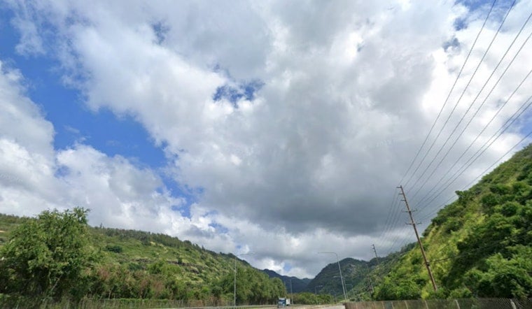
Honolulu is starting Tuesday with mostly cloudy skies, scattered showers and a high near 86 degrees. East-northeast winds will run 7 to 13 mph, while temperatures dip only to about 75 overnight, keeping the day warm even when a quick shower rolls through.
Windward Oahu Sees The Wettest Weather
Showers will favor windward and mountainous areas, though lighter rain may wander into leeward neighborhoods. The National Weather Service in Honolulu expects rainfall totals to stay below a tenth of an inch in most spots, with a 40% chance of rain during the day.
Trades remain relatively weak through Friday, allowing afternoon sea breezes to develop and spark a few coastal showers. Wednesday and Thursday should bring similar highs near 86 degrees, while Friday nudges up to about 87 with winds strengthening into the midteens and gusts near 23 mph, according to the National Weather Service Honolulu forecast.
Weekend Trades Turn Up The Breeze
The wind machine gets noticeably busier Saturday, when east-northeast winds may reach 20 mph with gusts up to 26 mph. Scattered showers remain possible through Sunday, with daytime highs holding near 86 degrees and overnight lows in the upper 70s.
By Monday, showers are expected mainly before noon before skies turn partly sunny, with another high near 87 degrees. No watches or warnings are currently in effect for Honolulu.
Beach Plans Get A Breezy Footnote
South-facing surf should remain below seasonal averages through much of the week, although a small, long-period south swell is expected to arrive Saturday. North-facing and west-facing shores should stay flat to tiny, while trade winds keep exposed waters choppy.





