

























































Honolulu is starting Monday warm, partly cloudy and breezy, with scattered showers in the forecast and temperatures near 81 degrees early. The city should reach about 87 degrees, but gusty east-northeast trade winds could push the heat index as high as 95.
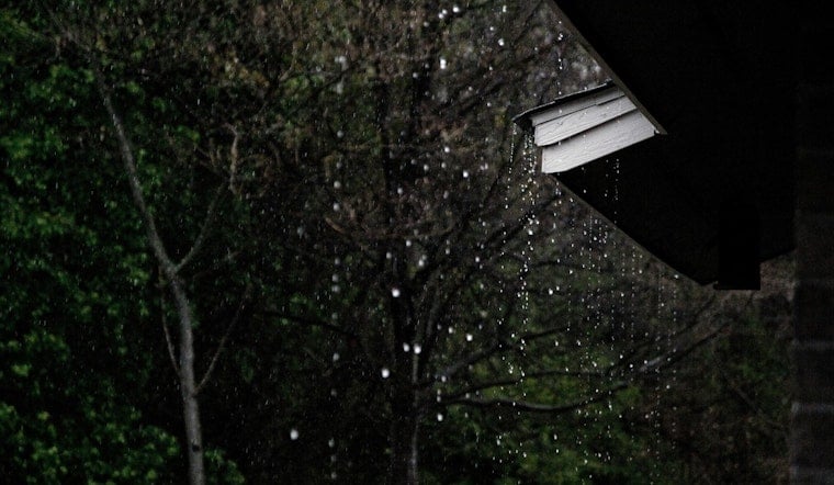
Showers are most likely during the morning, when rain chances reach about 45%, though brief passing showers remain possible through the afternoon. Winds will run 16 to 22 mph, with gusts up to 31 mph, while most rainfall in Honolulu should stay light at less than one-tenth of an inch, according to the National Weather Service Honolulu office.
Honolulu Stays Breezy Into Monday Night
Monday night should bring isolated showers before midnight, followed by partly cloudy skies and a low around 78 degrees. Winds will ease slightly to 14 to 17 mph, although gusts could still reach 24 mph.
The wetter and more serious weather concern is farther south and east. Moisture associated with Tropical Depression Moke is brushing the islands, with a Flood Watch continuing through the afternoon for the Big Island, where heavy rain and localized flooding are possible; the Honolulu forecast itself has no active alerts.
Sunshine Returns Tuesday
Tuesday looks sunnier and somewhat more typical for late August, with a high near 87 and east-northeast winds around 17 to 21 mph. A few showers could return Tuesday night, especially after midnight, but the rest of the week is expected to feature mostly sunny afternoons, highs near 86 and persistent trade winds.
Beachgoers should expect choppy conditions in exposed areas as the trades continue. South-facing surf is forecast around 3 to 4 feet Monday into Tuesday, with another long-period south swell possible by midweek.



