

























































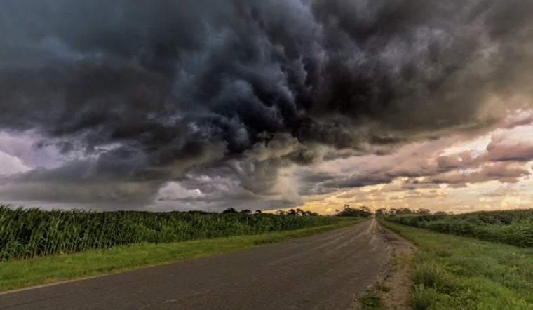
Houston starts Thursday clear and near 82 degrees, but the city is headed for another hot afternoon before storm clouds make a late-day appearance. Highs should reach about 97, with humidity pushing the heat index as high as 107.
Storm Chances Build Thursday Afternoon
Rain chances remain limited this morning, with a possible lull before scattered showers and thunderstorms become more likely during the afternoon and early evening. The National Weather Service Houston/Galveston says the severe-weather risk is low, but a few storms could bring gusty winds, heavy downpours and localized minor flooding.
Winds should stay light near 5 mph for much of the day, generally from the southwest, before shifting south or southeast late Thursday. The forecast calls for roughly a 50% chance of rain, with new rainfall amounts generally light but locally heavier under any stronger storm.
The shift is a notable change from the heat-focused forecast earlier this week. Hoodline's Wednesday report covered an active heat advisory, while Thursday's latest update lists no watches, warnings or advisories for Houston.
Friday Cools Down Before A Sunny Weekend
Friday should be somewhat cooler, with a high near 93 and a 40% chance of showers and thunderstorms, mainly before 4 p.m. The heat index may still reach 105, so the lower temperature will not feel like a complete escape from summer.
Saturday and Sunday look mostly sunny with highs around 93 and nighttime lows near 78. Rain chances rise again to about 30% Monday and Tuesday, mainly during the afternoon, while Wednesday stays sunny with only a slight storm chance.
Anyone spending time outside Thursday should keep water, shade and air conditioning breaks in the plan, especially during the hottest part of the afternoon. Drivers should also watch for sudden downpours and ponding on roads, while boaters and beachgoers should expect stronger winds near thunderstorms.





