

























































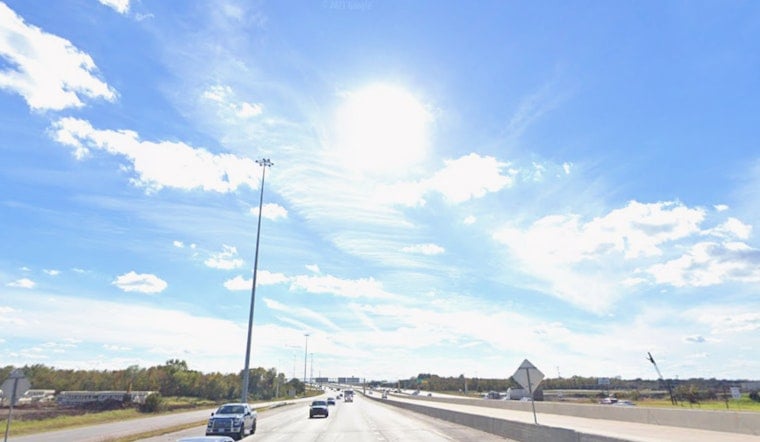
Houston is starting Wednesday clear and around 81 degrees, but the brief morning comfort will give way to a 100-degree afternoon. The heat index could reach 107, with light southwest winds offering little relief under sunny skies.
Heat Advisory Runs Through Wednesday Evening
A Heat Advisory remains in effect until 7 p.m. Wednesday, when the combination of triple-digit temperatures and humidity will be most dangerous. The broader southeast Texas advisory area could see heat-index values from 107 to 112 degrees, according to the National Weather Service.
Wednesday should stay mostly dry, with rain chances near 5% through the afternoon. The latest forecast extends the punishing pattern described in an earlier Hoodline forecast, while adding a better chance of storms later in the week.
Storm Chances Increase Thursday And Friday
Thursday brings a high near 98 and a 40% chance of showers and thunderstorms after 7 a.m. Temperatures may ease into the mid-90s during the afternoon, but the heat index could still reach 103, so a few clouds and downpours will not amount to a full cooldown.
Storm chances rise to 50% Thursday night and remain at 50% Friday, when Houston should reach about 94 degrees. Friday night could turn mostly clear after an early-evening shower or storm chance, with temperatures falling to around 79.
Weekend Heat Returns With Low Storm Chances
Saturday looks sunny with a high near 94, while Sunday reaches about 93 with a slight chance of afternoon showers and thunderstorms. The pattern continues into Monday and Tuesday, with highs near 92 and the best storm chances arriving after 1 p.m.
Anyone spending time outside Wednesday should drink plenty of fluids, seek air conditioning or shade, wear lightweight clothing and avoid strenuous activity during the hottest hours. Check on older relatives, neighbors and outdoor workers, and call 911 if someone shows signs of heat stroke.





