

























































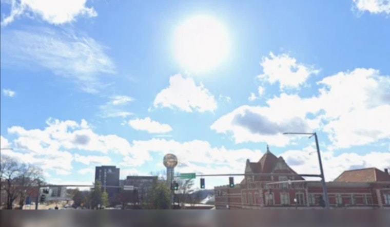
Knoxville is starting Thursday partly cloudy and muggy, but the day will quickly turn hot, with temperatures climbing toward 91 degrees and the heat index reaching as high as 98. Showers and thunderstorms are possible early and again later in the day, making outdoor plans a little more complicated than the sunshine might suggest.
A weakening line of storms could move across the region during the morning, with the best chance around 7 to 8 a.m. Some patchy fog may linger near waterways, but widespread fog is considered less likely. The National Weather Service in Morristown expects only a 30% chance of precipitation overall during the day.
Afternoon Storms Could Pack A Punch
The bigger concern arrives from afternoon into evening, when additional thunderstorms may develop after the atmosphere heats up. A few storms could become strong to severe, with damaging straight-line winds, brief microbursts and small hail among the main threats.
Rain coverage will remain uneven, so some Knoxville neighborhoods may stay dry while others get a sudden downpour. Anyone heading outside Thursday afternoon should keep an eye on the sky and move indoors if thunder is nearby.
Storms Linger Into Friday Morning
Thursday night will stay mostly cloudy, with a 60% chance of showers and thunderstorms and a low near 70 degrees. Rainfall amounts between a quarter-inch and half-inch are possible in spots before another round of scattered storms develops Friday.
Friday should reach about 89 degrees, with the heat index near 96 and a 30% chance of showers or storms. The chance of rain drops Friday night, and the sky should turn partly cloudy after any evening storms move through.
Sunny Weekend Finally Brings A Break
Saturday and Sunday look considerably calmer, with mostly sunny to sunny skies and highs near 90 and 88 degrees. Overnight lows should fall to about 67 Saturday night and 64 Sunday night, offering a little relief from the sticky daytime heat.
The forecast remains mostly dry and warm into Monday and Tuesday, with highs in the upper 80s. Storm chances return Wednesday afternoon, when another high near 91 is expected; the latest outlook is a notable shift from the unsettled pattern covered in Hoodline's earlier Knoxville forecast.
No watches, warnings or advisories are currently posted for the Knoxville area, but Thursday's combination of heat, humidity and possible strong storms calls for some caution. Secure loose outdoor items, take water breaks during the hottest part of the afternoon and avoid being caught outside when lightning starts.



