

























































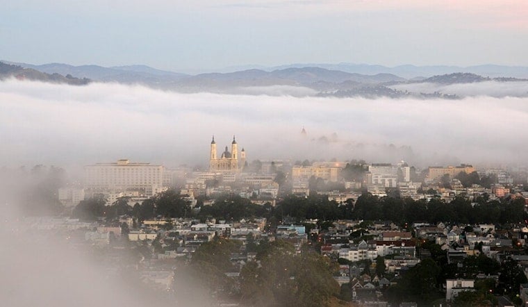
San Francisco is starting today with cool, damp air around 58 degrees and a slight chance of drizzle before 8 AM. The low coastal cloud deck should give way to mostly sunny skies, setting up a mild afternoon rather than a repeat of the region’s hotter inland weather.
Foggy Start, Clearer Afternoon
The National Weather Service’s Bay Area office expects temperatures to climb through the 60s and reach about 72 degrees before easing into the upper 60s later in the day. West-southwest winds of 5 to 12 mph will pick up through the afternoon, with gusts reaching 18 mph, according to the National Weather Service.
Tonight should turn mostly cloudy again, with a low near 57 degrees. That familiar fog-and-sun routine is likely to continue tomorrow, when San Francisco is forecast to see mostly sunny skies and another high near 72.
Weekend Warm-Up Stays Manageable In The City
Friday should be mostly sunny with a high near 73, followed by a slightly warmer Saturday near 74. Next Sunday is expected to be sunny and a bit cooler at around 72, while overnight lows remain mostly in the upper 50s to around 60.
The city’s temperatures then trend downward early next week, with highs near 69 next Monday and 67 next Tuesday. Afternoon breezes will remain part of the forecast, especially along exposed neighborhoods and higher ridges.
Inland Fire Weather Concerns Build
Conditions are more serious away from the coast, where elevated fire weather concerns remain across the interior North and East Bay, the Diablo Range and other higher terrain. The regional forecast calls for critical fire weather conditions to develop Friday and Saturday as dry fuels combine with low humidity and afternoon winds.
For San Francisco, no watches or warnings are in effect, but anyone heading inland should avoid activities that could spark a fire, including unattended campfires and careless barbecue use. The safest bet for Wednesday is simple: expect a jacket in the morning, sunglasses by midday and a windbreaker once the breeze arrives.





