

























































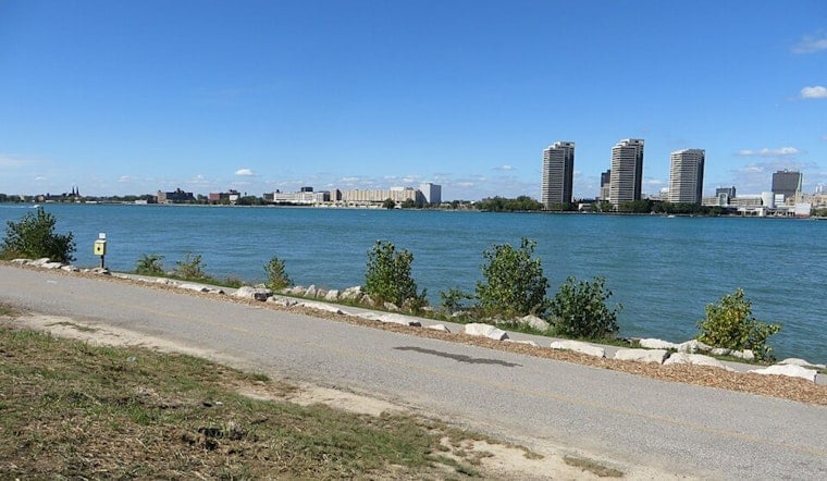
Detroit is starting today with clear skies, calm winds, and temperatures near 60 degrees, setting up a sunny day that should top out around 79. The comfortable stretch will last through Saturday before late-summer heat and storm chances begin pushing back into the forecast.
Sunny, Seasonable Weather Holds Through Saturday
Today will stay dry from morning through evening, with light northeast winds around 6 mph and plenty of sunshine. The National Weather Service Detroit/Pontiac office expects another mostly sunny day tomorrow, with a high near 83 and southwesterly winds between 3 and 10 mph.
Tonight should be mostly clear with a low around 61, while tomorrow night turns milder and mostly cloudy near 68. In other words, outdoor plans get a rare two-day weather free pass before the atmosphere starts adding plot twists.
Heat Builds Sunday Into Tuesday
Temperatures climb to about 87 next Sunday, then reach around 90 next Monday and 92 next Tuesday. Next Sunday night brings a slight chance of showers and thunderstorms, with additional chances next Monday and night into next Tuesday.
The updated forecast is a notable shift from yesterday’s outlook, which also flagged a warmer and more unsettled start to the week. Detroit’s previous forecast update is available from Hoodline.
Storm Chances Continue Midweek
Wednesday stays warm near 89 with a chance of showers and thunderstorms, followed by a mostly sunny Thursday near 86 with only a slight storm chance. No watches, warnings, or advisories are currently posted for Detroit, but residents planning outdoor activities should keep an eye on the forecast as the warmer, more humid pattern develops.





.jpg)