

























































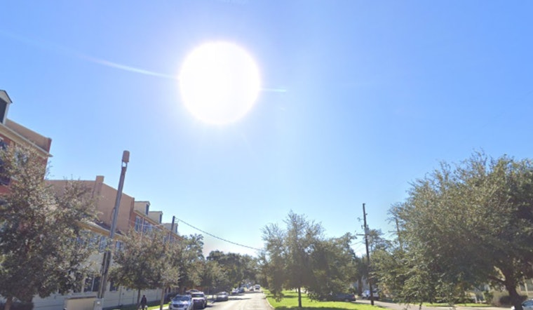
New Orleans is heading into a blazing Saturday, with sunny skies, a high near 95 degrees and heat-index values reaching 109. The air will stay hot and humid through the evening, while a better chance of thunderstorms arrives overnight and sets the stage for a stormier Sunday.
Saturday Heat Gives Way To Overnight Storm Chances
The day will remain mostly sunny with west winds around 10 to 15 mph. After 2 a.m. Sunday, showers and thunderstorms become possible, with a 40% chance of rain and temperatures only falling to around 81 degrees; the overnight heat index could still reach 107, according to the National Weather Service.
Sunday Brings The Weekends Biggest Storm Risk
Scattered to numerous showers and thunderstorms are expected Sunday, especially before 1 p.m., with a 50% chance of rain. The high should reach about 93 degrees before temperatures ease toward 91, and storms could bring gusts up to 25 mph, brief heavy rain and localized street flooding.
The National Weather Service says a few storms could become strong to severe, with damaging wind gusts possible. Anyone planning outdoor activities should keep an eye on the sky, have a shelter option ready and avoid driving through water-covered roads.
Boaters Face Stronger Winds Along The Coast
A Small Craft Advisory is scheduled from 7 p.m. Saturday through 10 a.m. Sunday for area coastal waters. Winds may strengthen to 15 to 20 knots, with seas building to 2 to 4 feet near shore and 3 to 5 feet offshore; thunderstorms could produce locally higher winds and seas.
Brief Heat Relief Arrives Next Week
Slightly drier air should bring temporary relief from the worst heat through the first half of next week, even as highs remain in the lower to middle 90s. Sunny conditions dominate Monday, while only slight thunderstorm chances return Tuesday through Friday, when humidity is expected to rebuild and heat-index values could again reach 105 to 110.





