

























































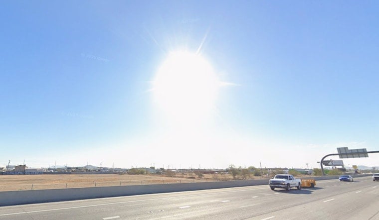
Phoenix is heading into a dangerous stretch of heat Saturday, with temperatures climbing from around 90 early in the morning to near 113 by afternoon. The heat warning is not a one-day affair: the forecast keeps the metro area in extreme heat through Friday evening, with overnight lows stuck around 89 to 91.
Saturday Peaks Near 113 Degrees
Saturday will start sunny before a slight chance of showers and thunderstorms develops after 5 p.m., with a 20% chance of precipitation. The National Weather Service in Phoenix says most storm activity should favor higher terrain, but isolated storms reaching the Valley could produce sudden outflow winds and blowing dust.
Saturday night will remain unusually warm, with a low near 90 and a slight storm chance before 3 a.m. Gusts could reach 20 mph around any storms, adding a brief wind and visibility hazard even if rain stays limited.
Triple-Digit Heat Holds Through Next Week
Sunday is forecast to reach 110 degrees, followed by highs near 109 Monday and 111 Tuesday. Wednesday through Friday could each top out near 113, while overnight temperatures remain close to 90 and provide little chance for the body to recover.
Storm chances will fade as drier air returns during the middle and latter part of next week. That means the Valley's main weather story will be persistent, dangerous heat rather than meaningful monsoon relief.
Cooling Resources Are Available
The warning calls for extra precautions, especially for people working or exercising outdoors. Reschedule strenuous activity for early morning or evening, drink plenty of water, take frequent breaks in shade or air conditioning, and watch for dizziness, nausea, headache, heavy sweating or weakness.
Maricopa County says residents can call 2-1-1 to find free cooling centers, water and transportation assistance. Anyone showing signs of heat stroke should be moved to a cool location and receive emergency help by calling 911.





