

























































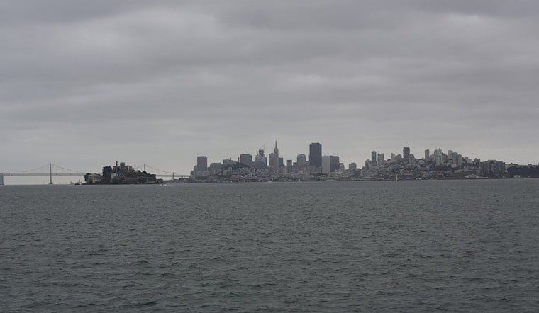
San Francisco is starting today around 59 degrees with a damp, cloudy feel, and the forecast has one small plot twist: a slight chance of showers before 11 AM. Skies should break into partly sunny conditions later, but this is also the first day of a cooler, windier stretch settling over the city through next week.
Morning Showers, Afternoon Wind
Rain odds remain around 20% or lower this morning, with the high expected to reach about 68 degrees before temperatures ease into the mid-60s later in the afternoon. West-southwest winds will run 6 to 16 mph and could gust as high as 25 mph, making exposed neighborhoods, bridge crossings and waterfront walks feel cooler than the thermometer suggests.
Tonight should turn partly cloudy with a low near 57 degrees. The rain threat fades quickly after the morning, so most city plans should be able to proceed with a jacket and a little flexibility.
Fire Weather Concern Is South Of The City
San Francisco’s shower chance is modest, but the bigger weather concern is farther south. The National Weather Service has a Red Flag Warning from 5 AM to 3 PM today for the Santa Cruz Mountains and parts of the Central Coast, as isolated lightning could accompany little rain.
Forecasters are also warning that the strongest storms could produce erratic outflow gusts of 40 to 50 mph, raising the risk of new fire starts and rapid fire spread in dry vegetation. Anyone heading into the hills should check local alerts, avoid spark-producing equipment and take any evacuation guidance seriously.
Sunny Weekend Still Comes With A Windbreaker
Tomorrow looks mostly sunny with a high near 67 degrees, but west-southwest winds could gust up to 29 mph. Tomorrow night should dip to around 57, followed by a sunny next Sunday with another high near 67 and a low near 56.
The cooler pattern hangs on next week, with highs near 64 next Monday, 63 next Tuesday, 65 next Wednesday, and 67 next Thursday. The marine layer is expected to rebuild, which means cloudier mornings and generally brighter afternoons for much of the city.
Coastal Plans May Feel Rougher
Boaters should be aware that a Small Craft Advisory covers portions of the nearby coastal waters through next Sunday morning.





_(05).jpg)