

























































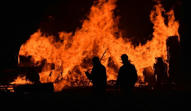
A wildfire dubbed the Rey Fire broke out on private land in Fresno County on Wednesday, with no containment figures yet available and the cause still undetermined. The blaze ignited as the region baked under a Heat Advisory, with daytime temperatures in Fresno reaching 103 degrees.
The fire was reported by the National Interagency Fire Center, according to the Sacramento Bee. The center coordinates wildland fire reporting and logistical support across federal, state, local, tribal, and private lands, compiling daily situation reports through the National Interagency Coordination Center, according to the National Interagency Fire Center. As of the Bee's report, officials had not released containment figures or a suspected cause for the ignition.
Heat Advisory Set the Stage for Fast-Moving Flames
The National Weather Service issued a Heat Advisory for Fresno County on Wednesday, with daytime temperatures in Fresno climbing to 103 degrees. Hot summer temperatures in the San Joaquin Valley significantly increase vegetation flammability, creating elevated fire danger conditions right as the Rey Fire ignited, per the same agency's forecast data.
Whichever landmark or road gave the fire its name has not yet been specified in available reporting, but the choice follows a standard practice. Wildfires in California are typically named after nearby geographic landmarks, roads, or terrain features closest to the point of origin, a convention meant to avoid confusion among responding agencies during emergency dispatch, according to guidance from the CAL FIRE Amador-El Dorado Unit.
Not the First Rey Fire in State History
This is not the first time the name has appeared on California's fire rolls. A previous Rey Fire burned 32,606 acres in Santa Barbara County in August 2016 after an oak tree branch fell onto power lines in the Los Padres National Forest, according to CAL FIRE's historical incident records. The repeat name underscores how frequently the same landmark-based naming convention produces overlapping fire titles across different corners of the state.
Fresno County's Long History With Major Wildfires
Fresno County has weathered some of the largest wildfires in California history. The September 2020 Creek Fire burned 379,895 acres across Fresno and Madera counties, becoming the largest single wildfire ever recorded in the state, according to the Office of Governor Gavin Newsom. In August 2016, CAL FIRE crews also battled the 7,050-acre Mineral Fire near Coalinga in western Fresno County, which destroyed nine structures before reaching full containment, per the Fresno County Sheriff.
Since the devastating 2020 fire season, California has permanently added more than 2,500 firefighting positions and extended seasonal firefighter staffing from six to nine months a year, the Governor's Office notes. That expanded surge capacity is part of what state and local crews now draw on for initial attack operations on fires like the Rey Fire.
Local Crews and Training Ground Stand Ready
Primary wildland fire protection across roughly 795,000 acres of State Responsibility Area land in Fresno and Kings counties falls to the CAL FIRE Fresno-Kings Unit, according to background compiled by the Westlands Water District. Supporting that unit on the ground, the California Conservation Corps operates two dedicated wildland firefighting hand crews, Mid Valley 1 and Mid Valley 2, out of its Fresno Center in direct partnership with CAL FIRE, per the California Conservation Corps. Corpsmembers construct physical fire lines alongside state engine companies during containment and mop-up work.
Firefighters preparing for blazes across the region also train at a 12-acre regional fire training facility south of Sanger, run by the Fresno County Fire Protection District in partnership with CAL FIRE. The site features a four-story burn tower used for live-fire training exercises and hosts joint wildland and structural courses throughout the year.
The Rey Fire adds to a string of Fresno County ignitions this year; Hoodline previously covered the Tumey Fire's rapid spread across Panoche Road grasslands in April. Key details remain unresolved, including the exact acreage burned at initial attack, any evacuation orders from the Fresno County Sheriff's Office, and the specific landmark that gave the Rey Fire its name. Hoodline will update this story as containment figures and cause information become available.





