

























































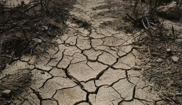
Farmland across the Sacramento Valley sank as much as 3 feet during California's 2020-2022 drought, and scientists say the damage to the region's aquifer is permanent — not something that will heal even after heavy rain. Satellite radar observations found that the harm was irreversible, marking a troubling new front in the state's long-running groundwater crisis.
The findings come from a study published July 27, 2026, in the Proceedings of the National Academy of Sciences, in which researchers from UCLA and Caltech used satellite InSAR radar to track ground movement across the region, according to FOX40. The technology allowed scientists to detect large areas of the Sacramento Valley abruptly transitioning from temporary, elastic ground movement into permanent, inelastic compaction during the drought years, per the Proceedings of the National Academy of Sciences. That kind of land subsidence signals severe compaction of the soil layers below — compaction that, once it happens, cannot be reversed.
A Water Loss the Size of San Francisco's Yearly Supply
Study co-author Kristel Chanard put the scale of the damage in terms local readers can grasp: the permanent loss of groundwater storage capacity in the Sacramento Valley aquifer from the 2020-2022 compaction is roughly equivalent to San Francisco's entire annual water consumption, as reported by SFGate. Inelastic compaction collapses pore space in underground clay layers so thoroughly that they can no longer hold water, even once rain returns. Groundwater pumping in 2020, driven by the drought, is what caused the sinking in the first place, and the ongoing overexploitation of groundwater will cause thicker layers of soil and sediment to keep compacting for years, the study found.
Local water officials point to the surface water shortages that pushed farmers underground for irrigation in the first place. Sacramento River contractor allocations were cut to 75% in 2020-2021, and diversions from Shasta Dam hit historic lows in 2022, according to the Missoula Current. With less water flowing through canals and reservoirs, growers leaned harder on wells — and that surge in pumping is what triggered the irreversible compaction now showing up in the satellite data.
Satellite Radar Offers a Warning Before Wells Do
Researchers say the bigger significance of the study is methodological: satellite radar tracking can flag when ground sinking crosses from temporary elasticity into permanent collapse well before traditional well-monitoring networks alone would show a clear warning sign, per KQED. That gives water managers — in California and beyond — an early-warning tool that could help them cut back pumping before an aquifer's storage capacity is destroyed for good. Reduced groundwater pumping may help the system stabilize going forward, and a recent surge in rain may also help stabilize groundwater levels, though it won't undo the compaction that has already occurred.
Today's deformation could not have been predicted using previous groundwater-level records alone, underscoring why the satellite method matters. Land subsidence causes a permanent loss of storage capacity in the underlying aquifer system, and soil and sediment compaction will continue causing the Sacramento Valley's land to sink over time even as the immediate drought pressure has eased.
A Crisis Long Confined to the San Joaquin Valley Moves North
Historically, severe multi-foot land subsidence in California was concentrated almost exclusively in the southern Central Valley's San Joaquin Valley, where land has sunk up to 30 feet since the 1920s. The rapid sinking documented in the Sacramento Valley during 2020-2022 marks a significant northward expansion of the state's permanent aquifer damage crisis, SFGate reports. U.S. Geological Survey historical records show that localized parts of the southwestern Sacramento Valley, near Zamora and Arbuckle, saw 1 to 2 feet of subsidence between 1935 and 1964 — but the recent drought marked the region's first widespread, rapid transition to permanent aquifer collapse, according to the U.S. Geological Survey.
The stakes extend well beyond one valley. The USGS estimates that roughly 15% of the Central Valley's overall groundwater storage capacity has been permanently lost to land subsidence, threatening a region that produces about one-quarter of the nation's food supply, KQED notes. Land subsidence also poses a serious threat to California's water infrastructure more broadly, and irreversible harm of this kind threatens groundwater resources that communities and farms depend on for the long haul.
State Regulation Still Lags Behind the Science
The California Department of Water Resources has already sounded alarms over the infrastructure risk. Reports the agency released in 2025 and early 2026 warned that unmitigated land subsidence could cut State Water Project deliveries by up to 87% by 2043, while also causing hundreds of millions of dollars in annual damage to canals, levees, roads, and flood infrastructure, according to the California Department of Water Resources. In January, the department finalized official Best Management Practices for Land Subsidence, giving local Groundwater Sustainability Agencies tools to track and prevent ground sinking under the state's 2014 Sustainable Groundwater Management Act.
Yet a regulatory gap remains between the two halves of the Central Valley. The California State Water Resources Control Board placed several San Joaquin Valley subbasins on probation in 2024 over overpumping — a move Hoodline previously reported forced mandatory pumping reports and fees on local extractors. Sacramento Valley subbasins, however, have not been designated as critically overdrafted, prompting water policy experts to call for reassessing those regulatory designations, per Briefly. The full study is available on the PNAS website for those who want to dig into the underlying satellite data themselves.





