

























































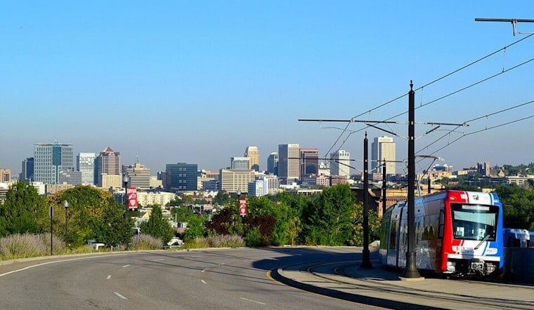
Salt Lake City is heading into a sharp weather split: the latest observation at Salt Lake City International Airport found mostly clear skies, a temperature of 75°F, and south winds around 41 mph early Thursday. The afternoon could push the mercury to about 97°F, with a slight chance of showers and thunderstorms after noon. By Saturday, the forecast turns markedly cooler and wetter.
The forecast calls for mostly sunny skies through the morning, with temperatures climbing from the low 70s to the mid-90s by midafternoon. Storm chances remain limited at about 20%, but any storm could bring a sudden wind shift or brief downpour. No watches, warnings, or advisories were posted for the Salt Lake City area Thursday morning, according to the National Weather Service.
Afternoon Heat Gives Way To Gusty Storms
Thursday night stays warm, with a low around 71°F and a slight chance of showers or thunderstorms before midnight. Friday is expected to reach about 91°F, with another slight storm chance after 3 p.m.; the bigger change arrives Friday night, when rain and thunderstorms become more likely and the low drops to around 65°F.
The National Weather Service says stronger storms could produce outflow gusts above 40 mph and isolated heavy rain, while very dry air in the afternoon may create locally critical fire-weather conditions. That combination makes Thursday a poor day to leave lightweight outdoor furniture, umbrellas, or unsecured gear unattended, especially if storms build nearby. Lightning and fast-moving wind shifts are the main practical concerns for anyone spending the afternoon outside.
Saturday Brings The Big Cooldown
Saturday looks like the weekend pivot, with showers and thunderstorms expected, cloudy skies, and a high near 82°F. The chance of precipitation is around 90%, with new rainfall totals generally between a tenth and a quarter of an inch; Saturday night stays unsettled with a low near 61°F. Sunday remains mostly cloudy, with storms likely before noon and additional chances later as the high reaches about 81°F.
The pattern eases next week but does not snap fully back to summer: Monday is forecast near 84°F with a slight storm chance, followed by a sunny Tuesday near 86°F and a mostly sunny Wednesday near 83°F. For residents looking for a break from Thursday's heat, the Salt Lake City mayor's office says public buildings around the city and county can serve as temporary cooling spaces and points to the 2026 Cool Zones map through its summer heat guidance. In the meantime, drink water, take breaks from the afternoon sun, and head indoors if thunder starts.





.jpg)