

























































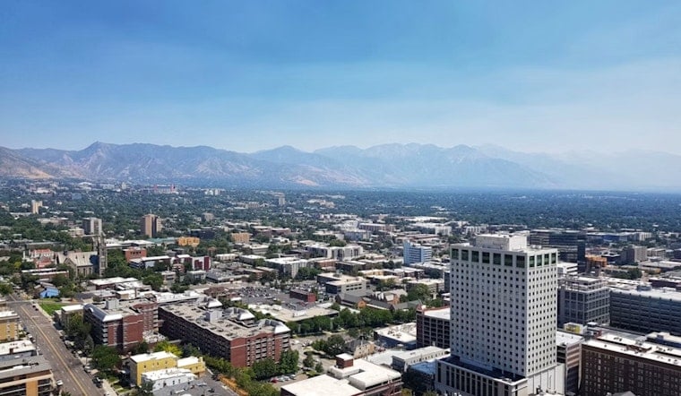
Salt Lake City starts Monday, August 10, with clear skies before temperatures surge toward 98 degrees and monsoon-fueled storms become possible by afternoon. The heat will be intense, but the bigger concern is a quick shift from sunny skies to downpours, lightning and erratic winds.
Storm Chances Arrive After Noon
Mostly sunny conditions are expected through the late morning, with temperatures reaching the upper 80s by noon and the mid-90s during the afternoon. Showers and thunderstorms could develop between noon and 3 p.m., with the best chance for storms continuing into the late afternoon and early evening.
The National Weather Service says storms may produce brief heavy rain and gusty, unpredictable winds, while a marginal risk of excessive rainfall remains across much of Utah through the next five days. That means extra caution around normally dry washes, slot canyons, slick rock areas and recent burn scars, where sudden runoff can turn dangerous quickly.
Heat Eases As The Week Gets Wetter
Monday night will stay mostly cloudy with a low near 73 degrees, followed by a mostly sunny Tuesday and a high around 96. Wednesday cools to about 90 with another chance of showers and thunderstorms, then Thursday looks substantially wetter and cooler, with showers and thunderstorms likely and a high near 84.
Friday and the weekend remain milder, with highs in the low to mid-80s and occasional shower or thunderstorm chances. Salt Lake City and Salt Lake County also have public buildings available as temporary cooling spaces during the summer heat, according to the Salt Lake City mayor's office.





