

























































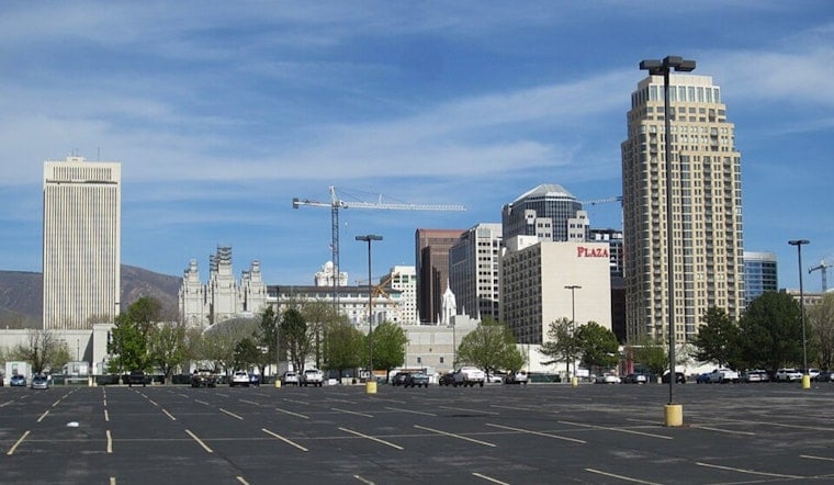
Clear skies and temperatures around 73 degrees greeted Salt Lake City early Friday, with a southeast wind blowing near 21 mph at the airport. The calm opening will give way to a hot afternoon near 90 degrees, followed by a sharp turn toward showers, thunderstorms, and much cooler temperatures this weekend.
Friday Starts Hot, Then Storms Build
A slight chance of rain showers is possible Friday morning, mainly between 9 a.m. and noon. The storm risk increases after noon, with showers and thunderstorms becoming more likely through the afternoon and into Friday evening as temperatures ease back from the upper 80s.
Friday night looks notably wetter, with a 70% chance of showers and thunderstorms and an overnight low near 65 degrees. Winds should generally stay light, but storms may bring sudden, erratic gusts that could complicate outdoor plans and the evening commute.
Saturday Brings A Cooler, Wetter Turn
Saturday will feel more like an early fall preview than the end of August, with a high near 81 degrees and an 80% chance of showers and thunderstorms. Rainfall totals of roughly one-tenth to one-quarter inch are possible, though heavier pockets could develop.
The National Weather Service in Salt Lake City says storms could become more widespread Saturday, with strong or severe thunderstorms and isolated flash flooding among the main concerns. Anyone heading into mountain areas, low-lying spots, or outdoor events should have a way to get indoors quickly if thunder develops.
Sunday Stays Unsettled Before A Drier Week
Showers and thunderstorms are likely Sunday morning, followed by a lingering chance of storms during the afternoon. The high should remain near 81 degrees, with a much cooler overnight low around 59 and only a slight storm chance Sunday night.
Monday brings sunshine and a high near 84, although another slight chance of afternoon thunderstorms remains. Tuesday looks sunnier near 86 degrees, while Wednesday and Thursday settle into the lower to mid-80s with smaller shower and thunderstorm chances.
No Watches Or Warnings Are Posted
There are currently no watches, warnings, or advisories for Utah or southwest Wyoming. Still, the new outlook is a more serious shift from Hoodline's earlier forecast, with Saturday now expected to be wetter and storm threats more widespread.
For Friday, the best window for outdoor plans is earlier in the day, before storms become more likely. Keep water nearby during the warm afternoon, and move indoors immediately if lightning or strong winds arrive.


_-_307.jpg)