

























































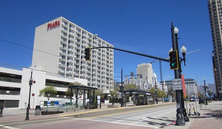
Salt Lake City woke up clear and around 72 degrees Wednesday, but the valley is heading into a sharp late-summer heat push. The airport was reporting southeast winds near 21 mph early Wednesday, with sunny skies expected to take over the day.
Wednesday's forecast calls for a high near 98°F, with mostly sunny skies and lighter west-northwest winds during the afternoon, according to the National Weather Service in Salt Lake City. The overnight low should stay near 73°F, so there will not be much relief after sunset. The forecast lists no active watches, warnings, or advisories.
Thursday looks hottest, with mostly sunny skies and a high near 101°F. Friday should remain close behind at 100°F before the pattern begins to shift, with a 50% chance of showers and thunderstorms Friday night.
Weekend Storms Bring Relief And A New Risk
Saturday's high is expected to drop to about 93°F, but showers and thunderstorms become more likely from late Friday through Saturday. The forecast calls for mostly cloudy skies Saturday and says returning monsoon moisture could bring heavier rain and a growing flash-flood threat across the region.
Sunday through Tuesday will continue a gradual cooldown, with highs near 92, 91, and 90°F. Each day still carries a chance of afternoon showers and thunderstorms, so outdoor plans may need both sunscreen and a backup plan.
Plan For The Heat First
For Wednesday and Thursday, residents should move strenuous outdoor work or exercise to the cooler morning or evening hours, drink water regularly, and check on older adults, young children, and pets. Salt Lake County lists free Cool Zones for residents seeking relief, including the Weigand Center at 437 W 200 S, and its Cool Zones guide includes additional locations.
By Friday night, storm chances rise just as temperatures begin to ease. Keep watching updated forecasts, and take lightning, sudden downpours and fast-moving runoff seriously even if the day starts out bright and dry.





_-_004.jpg)