

























































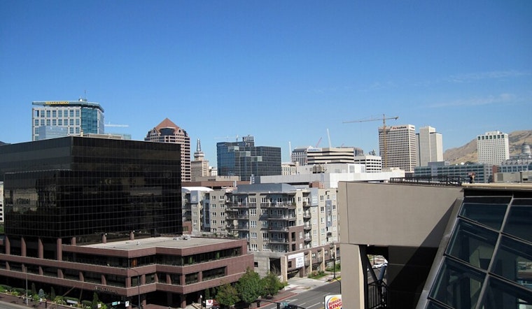
Salt Lake City will wake to clear skies and temperatures in the mid-60s Wednesday, but the easy start will not last: patchy smoke and a 94-degree high set the stage for a sharper heat climb. Thursday reaches 100, and Friday and Saturday are forecast to hit 103, making the second half of the week the one to plan around.
Smoke Hangs Around As Temperatures Rise
Patchy smoke is expected Wednesday and Wednesday night, with mostly sunny skies and no meaningful rain in the near-term forecast. The National Weather Service says smoke from fires in the Pacific Northwest could continue through at least Thursday, while dry air and light winds may leave parts of the valley hazy.
Friday And Saturday Bring The Biggest Heat
Thursday night’s low will be around 71, followed by 103 degrees Friday under sunny skies. Saturday stays mostly sunny with another high near 103, while overnight lows remain in the mid-70s, offering limited relief. The weather service warns that dangerous heat could become widespread Friday into Saturday, although no watches, warnings or advisories are currently listed for the area.
Salt Lake County’s Cool Zones page lists the Weigand Center at 437 W 200 S in Salt Lake City as open daily from 7 a.m. to 7 p.m. for people needing relief from the heat, according to Salt Lake County. Anyone working or exercising outdoors should take frequent breaks, drink water and avoid the hottest part of the afternoon, while neighbors should check on older adults, children and pets.
Rain Chances Return Next Week
Sunday remains mostly sunny and near 101, with partly cloudy skies overnight. A slight chance of showers and thunderstorms arrives Monday afternoon, when the high will be near 99, before Tuesday stays mostly sunny and near 97. Increasing monsoon moisture could bring more storms and flash-flood concerns later next week, particularly across southern Utah.





.jpg)