

























































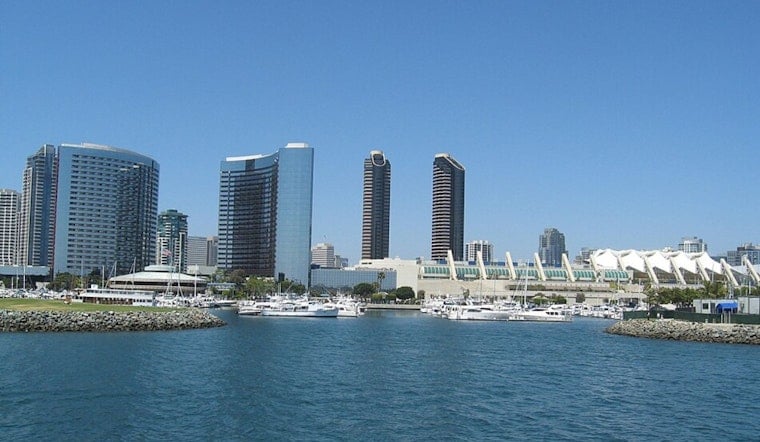
San Diego is starting Monday under mostly cloudy skies and temperatures around 72 degrees, with patchy fog expected to linger through late morning. The marine layer should give way to mostly sunny skies and a high near 81, but evening high tides could bring minor flooding to low-lying coastal areas.
Foggy Start, Mostly Sunny Afternoon
Patchy fog is expected before 11 a.m., followed by a brighter and warmer afternoon. Winds should remain light at 0 to 5 mph from the south, and no rain is expected in the city.
High Tides Could Flood Coastal Roads
A Coastal Flood Advisory is in effect for San Diego County coastal areas from 6 p.m. Monday through 11 p.m. Wednesday. The National Weather Service San Diego says evening high tides of 7.2 to 7.5 feet will peak between roughly 7:30 and 10 p.m., potentially flooding low-lying parking lots, parks and roads.
Drivers should allow extra time near the coast and avoid barricades or water of unknown depth. Surf is expected to stay low, so tidal overflow — rather than large waves — is expected to be the main concern.
Cooler Weather Arrives Midweek
Tuesday should look similar, with patchy fog, mostly sunny skies and a high near 80. Highs are expected to ease to 79 on Wednesday, 77 Thursday and 76 Friday before settling near 78 over the weekend.
While the coast is expected to remain mostly dry, scattered afternoon showers and thunderstorms could develop in the mountains, deserts and inland valleys through Tuesday. That inland storm chance should fade as monsoonal moisture decreases later in the week.



.jpg)