

























































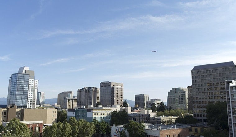
San Jose woke to clear skies and temperatures near 64 degrees early today, but the valley's last warm day of the week comes with a small chance of rain. The high should reach about 85, followed by a noticeable cooldown beginning tomorrow. For anyone planning a patio lunch or an evening outside, the forecast is mostly workable—just not entirely rain-free.
Thursday Starts Clear With A Slight Rain Chance
Today is expected to turn partly sunny, with temperatures rising into the mid-80s before easing back during the afternoon. The National Weather Service puts the chance of rain at 20%, with northwest winds increasing to around 8 mph. A thunderstorm cannot be ruled out in the broader region, though forecasters say instability is limited and soaking rain is not expected.
Friday Brings Clouds And Cooler Temperatures
Tomorrow looks cloudier, with a 30% chance of rain before 5 PM. The high is expected near 79, and overnight temperatures should fall to about 58. That marks a noticeable shift from today's warmth, especially for early commuters and anyone lingering outdoors after sunset.
Sunny Weekend Leads Into A Cooler September
Saturday should be sunny and near 78, while next Sunday stays mostly sunny with a high around 77. The cooling trend continues next Monday, when San Jose is forecast to top out near 73, before a modest rebound to 75 next Tuesday and 77 next Wednesday. By next Wednesday, September 2, patchy fog is possible before 9 AM.
Higher Elevations Face A Different Weather Concern
For higher elevations around the Bay Area and Central Coast, forecasters say warm, dry conditions above the marine layer could keep fire-weather concerns elevated today. Even with shower chances today and tomorrow, wetting rain is not expected, and a low but nonzero risk of dry lightning remains. There are no land-based watches or warnings listed for San Jose.





