

























































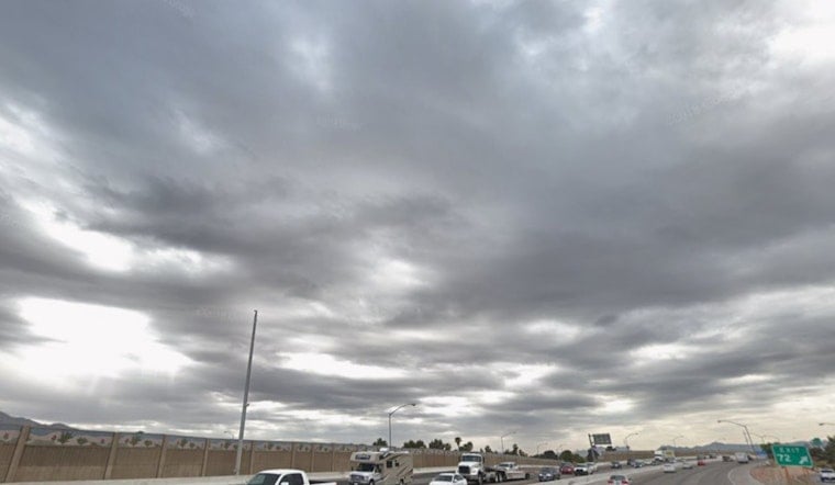
Las Vegas woke Friday to clear skies and temperatures around 81 degrees, but the calm will not last all day. Showers and thunderstorms are expected to develop from late morning into the afternoon before a much hotter, mostly dry pattern takes over next week.
Storms Arrive Friday Afternoon
The National Weather Service in Las Vegas puts the overall chance of rain at 60% Friday, with shower chances beginning around 11 a.m. and building through the afternoon. The most likely window for storms is roughly 1 to 6 p.m., when sudden gusts, lightning, heavy rain and sharply reduced visibility could affect parts of the valley.
Localized flooding remains possible in heavier downpours, while wind gusts could reach 20 mph. Storm chances should ease Friday night, with a low near 77 and a chance of rain before 10 p.m.; outside the valley, flash flood watches remain posted through Friday evening for northern Mohave County and most of Lincoln County.
Weekend Warmup Leads To Triple-Digit Heat
Saturday turns mostly sunny and warmer, with a high near 97 and only a slight chance of an isolated storm late in the day. Sunday reaches about 100 degrees, followed by 105 on Monday and a scorching 108 on Tuesday.
The heat stays intense through the middle of next week, with highs near 107 degrees Wednesday and Thursday. Overnight temperatures also climb from the upper 70s this weekend into the mid-80s by Monday, offering little relief after sunset.
Friday plans should allow extra time for sudden weather changes, especially during the afternoon commute or while traveling near open desert areas. If thunder develops, move indoors, and never drive through a flooded roadway—even a shallow-looking crossing can be dangerous.



