

























































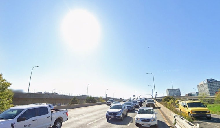
Boston is getting a sunny, seasonable Wednesday, with temperatures climbing from around 70 degrees early at Logan to a forecast high near 84. Rain odds are only about 4%, giving outdoor plans a clean runway before storm chances return later this week.
The National Weather Service’s Boston/Norton office says skies should stay mostly sunny, although wildfire smoke aloft could give them a hazy or milky look. A light northeast breeze of 3 to 7 mph is expected this afternoon, while temperatures fall to around 68 overnight under partly cloudy skies, according to the National Weather Service.
Thursday Brings A Narrow Shower Window
Thursday stays mostly sunny and reaches about 83 degrees, but a 30% chance of showers and thunderstorms arrives mainly between 2 and 5 p.m. The risk is limited, but anyone planning an afternoon at a park, on a patio or near the harbor may want a backup plan.
Friday Marks The Week’s Unsettled Turn
A chance of rain showers develops after 2 p.m. Friday, with a high near 83 and a 30% chance of precipitation. A front moving offshore could bring a better opportunity for showers and thunderstorms before drier air moves in, while winds may become breezier.
Weekend Weather Looks Much Better
Saturday should be the pick of the weekend: sunny, around 81, with a low near 63. Sunday stays mostly sunny with a high near 78 and only a slight chance of showers after 3 p.m., but rain showers and thunderstorms become likely Sunday night into Monday, when the precipitation chance reaches 60% and the high is around 75.
For Boston, the tradeoff is straightforward: enjoy the dry stretch Wednesday through Saturday, then keep an eye on the forecast for late Sunday and Monday plans. Lower humidity and more comfortable conditions are expected this weekend, and no weather advisories are currently posted for Massachusetts.





