

























































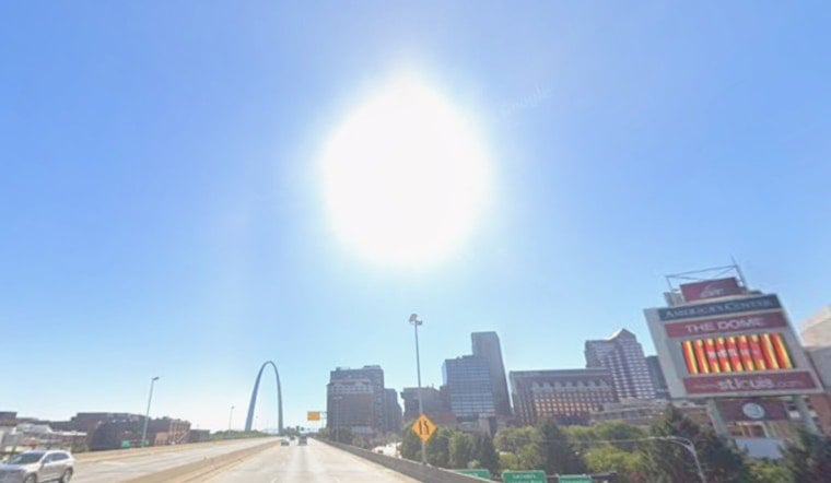
St. Louis is starting Sunday with some fog and mist, but the day will turn sunny, hot and dangerously humid. Temperatures are expected to climb from the low 70s early to about 95 degrees this afternoon, with heat index values reaching 106. An Extreme Heat Warning is in effect from noon Sunday through 8 p.m. Wednesday.
Four Days Of Dangerous Heat
Sunday’s south winds will stay light to moderate at 3 to 12 mph, doing little to blunt the heat. Monday and Tuesday are expected to be the hottest days, with highs near 98 and heat index values as high as 110, while overnight lows remain near 79. The National Weather Service says the warning reflects a heightened risk of heat-related illness across parts of Missouri and Illinois.
People working or exercising outdoors should move strenuous activity to the early morning or evening, take frequent breaks in shade or air conditioning, and drink plenty of fluids. Children, older adults, people with health conditions and pets are especially vulnerable, and no one should be left in a parked vehicle.
Storms Bring Relief Later In The Week
Wednesday will still be hot, with a high near 95 and a slight chance of showers or thunderstorms during the morning and early afternoon. Storm chances increase Wednesday night, then showers and thunderstorms are likely Thursday and Friday as a front moves through, bringing highs down to about 88 and 86 degrees.
That front could also produce periods of heavy rain, and flash flooding may become a concern in locations where storms repeatedly track over the same areas. The exact placement of the heaviest rain remains uncertain, so residents should keep an eye on updated forecasts before making plans for Thursday through Saturday.
Cooling Help Available
St. Louis-area residents who need a cooler place can call the United Way of Greater St. Louis at 800-427-4626, or dial 2-1-1 from a landline, for information about cooling centers and energy assistance. Cool Down Saint Louis can also be reached at 314-241-7668, while the city maintains an updated list of cooling sites.
For now, Sunday’s sunshine comes with a serious catch: the heat will build quickly and linger through midweek. A cooler, stormier pattern is expected by Thursday, but that relief may arrive with downpours and thunder instead of a quiet reset.





