

























































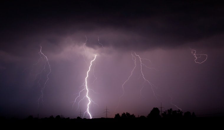
Milwaukee is waking to a muggy, partly cloudy Tuesday, but the quiet start is only a brief setup for a potentially rough midmorning. Temperatures around 72°F early will rise to near 79°F before showers and thunderstorms move across southern Wisconsin, with the strongest storms capable of damaging winds and quick flooding. The storm window should ease by early afternoon, leaving a drier finish.
The National Weather Service Milwaukee/Sullivan office expects the storm line to sweep across the region from late morning into early afternoon Tuesday, August 11. The strongest cells could produce damaging wind gusts, frequent lightning and localized flooding, with the heaviest downpours most likely near the Wisconsin-Illinois border. Rainfall should total roughly a quarter to half inch in many spots, while isolated storm cores could drop an inch or two quickly.
A Rough Commute, Then A Quieter Afternoon
Milwaukee’s Tuesday high should reach about 79°F, with southeast winds mostly between 0 and 5 mph. The storm risk is highest before 5 p.m., and the hourly forecast trends back toward partly sunny conditions by late afternoon. Drivers should allow extra time for ponding and sudden visibility drops, while anyone outdoors should move inside when thunder is heard.
Portions of Lake Michigan remain under a dense fog advisory until 10 a.m. Tuesday, a separate concern for boaters and anyone near the shoreline. After storms depart, Tuesday night turns partly cloudy with a low around 68°F, but patchy fog may return after 4 a.m. Wednesday.
Foggy Wednesday, Then A Brief Break
Wednesday starts with areas of fog before 8 a.m., followed by a high near 81°F and a 30% chance of showers and thunderstorms. Thursday stays mostly cloudy with a high around 79°F and only a slight chance of showers or storms. The unsettled pattern should finally ease by Friday.
Friday Looks Pleasant Before A Stormy Weekend
Friday is expected to be mostly sunny and cooler, with a high near 73°F and northeast winds around 10 mph. Storm chances return Friday night, then rise to 60% Saturday and 70% Saturday night and Sunday, when highs remain in the low to mid-70s. Monday looks partly sunny with a high near 74°F, giving Milwaukee a calmer finish after a busy weather weekend.





.jpg)