

























































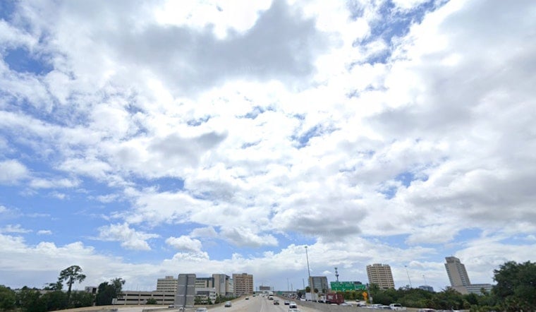
Jacksonville starts Monday partly cloudy and already muggy, with temperatures near 79 degrees and humidity around 94%. The relatively quiet morning is expected to give way to showers, thunderstorms and a few sudden downpours as the day heats up.
Showers could develop between 7 and 11 a.m., with storm chances increasing from late morning through the afternoon, according to the National Weather Service Jacksonville. The latest outlook follows Sunday’s Hoodline forecast and keeps Jacksonville in a persistently unsettled pattern heading into September.
Afternoon Storms Could Bring Flooding
Monday’s high should reach about 89 degrees, with the heat index climbing as high as 100 before rain cools some areas toward the lower 80s. Northeast winds will run 5 to 14 mph, with gusts up to 21 mph, while rainfall totals of roughly a tenth to a quarter-inch are possible.
Slow-moving thunderstorms could still drop much heavier rain in a short time, making localized flooding the main concern, especially inland. The strongest cells may also produce frequent lightning and isolated wind gusts of 40 to 50 mph, so outdoor plans should include a quick indoor backup and drivers should watch for ponding and sudden visibility drops.
Storm Chances Stay High Through Sunday
Monday night remains mostly cloudy, with a 30% chance of showers and thunderstorms before 5 a.m. Tuesday and a low near 76 degrees. Tuesday brings a 60% storm chance and a heat index up to 102, followed by a wetter Wednesday with a 70% chance of showers and thunderstorms.
The unsettled stretch continues Thursday and Friday with storm chances near 60%, then eases slightly to 50% Saturday before rising again to 70% Sunday. Highs will generally stay in the upper 80s to low 90s, reaching about 93 degrees Saturday, while overnight lows remain in the mid-70s.
Moderate Rip Current Risk Continues
Beachgoers should also account for a moderate rip current risk along the Atlantic coast through much of the week, with surf around 2 to 3 feet in the persistent onshore flow. Swimmers should stay near lifeguards, avoid entering the water during storms and never try to fight a rip current by swimming straight back toward shore.





