

























































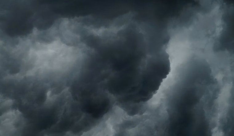
Salt Lake City is starting Thursday under cloudy skies and temperatures around 72 degrees, but the bigger story is building overhead: showers and thunderstorms are expected through much of the day. The city could reach about 82 degrees before temperatures slip into the upper 70s during the afternoon, with an 80% chance of precipitation.
Storms Build Around Midday
Rain chances rise through the morning, reaching about 80% to 83% from noon through midafternoon. Storms are expected to remain possible into the early evening, when the threat shifts toward scattered showers and thunderstorms.
The National Weather Service says storms could bring brief heavy rain, small hail and gusty, erratic winds. A broader marginal severe-weather risk covers much of western and central Utah Thursday afternoon and evening, so outdoor plans should include a backup option and drivers should watch for sudden downpours.
Friday Stays Unsettled Before A Drier Weekend
Friday will remain mostly cloudy with a high near 82 degrees and a 50% chance of showers and thunderstorms, including a slight chance of rain before 9 a.m. Friday night turns quieter but not completely dry, with a 20% chance of additional showers and storms and a low around 60.
Saturday brings a noticeable reset, with mostly sunny skies, a high near 85 and only a small rain chance. Sunday should be mostly sunny and warmer at about 88 degrees, followed by a mostly dry stretch that reaches 91 Monday and 92 Tuesday.
Heat Returns Next Week
Monday and Tuesday look mostly sunny to partly sunny, with overnight lows in the mid-60s. A slight chance of afternoon showers and thunderstorms returns Wednesday, but the broader pattern is expected to be drier through the middle of next week.





