

























































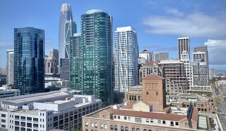
San Francisco is starting today, in the upper 50s with a small chance of drizzle, but the gray stuff should give way to mostly sunny skies by late morning. The city is headed for a high near 71 degrees before temperatures ease back toward the upper 60s in the afternoon.
The National Weather Service expects southwest-to-west winds of 6 to 14 mph today, with gusts reaching 21 mph. The breeze will strengthen through the afternoon, making exposed waterfronts and bridges feel cooler than the thermometer suggests.
High Tides Could Flood Low-Lying Bayshore Areas
A Coastal Flood Advisory remains in effect through 2 a.m. Thursday for bayshore locations around San Francisco Bay, San Pablo Bay and Monterey Bay. The coastal flood advisory says up to 1.6 feet of water could cover ground-level areas near shorelines and tidal waterways, including some lots, parks and roads.
In San Francisco, high tide is forecast around 10:57 p.m. today at about 1.6 feet above normal, followed by another elevated tide around 11:49 p.m. tomorrow at about 1.4 feet above normal. Drivers should leave extra time, avoid barricades and never drive through water of unknown depth.
Cooler Through Thursday, Slightly Warmer This Weekend
Tomorrow stays mostly cloudy after a slight chance of morning drizzle, with a high near 71. Thursday dips to 69 and turns partly sunny, while Friday and Saturday hover near 70 under partly sunny skies.
Sunday and Monday look a touch cooler, with highs near 68 and mostly cloudy nights around 58. Farther south, the Central Coast has up to a 15% chance of elevated showers or thunderstorms tomorrow, and forecasters warn that any storms could produce erratic, gusty winds even if rain is limited.





