

























































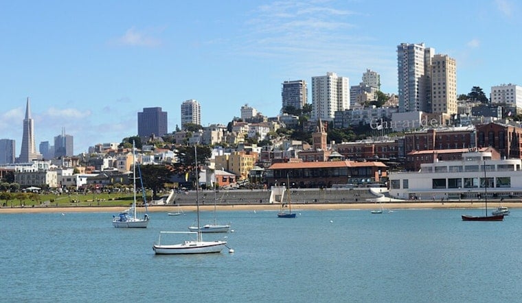
San Francisco is waking up today to mostly cloudy skies and temperatures near 59 degrees, but the gray is expected to break by late morning. The city should warm to around 72 degrees before easing back into the upper 60s later in the afternoon, with no meaningful rain in the forecast.
Low clouds, mist and patchy fog may linger near the coast and move inland during the morning commute before clearing. The National Weather Service is also calling for west-southwest winds of 2 to 13 mph, with gusts up to 18 mph as the afternoon sea breeze fills in.
Afternoon Sun Gives Way To A Cool Night
Tonight will turn partly cloudy, with temperatures dropping to around 57 degrees. West-southwest winds will continue at 5 to 12 mph, and exposed waterfront and hilltop areas could feel noticeably breezier.
Tomorrow looks much like today at the coast, with mostly sunny skies and a high near 72 degrees. Saturday and next Sunday should be the warmest days in the city, reaching about 75 degrees under sunny skies, though the familiar evening chill will return after sunset.
Inland Heat And Fire Danger Build This Weekend
While San Francisco stays relatively comfortable, inland parts of the Bay Area are expected to heat up through next Sunday. Forecasters are calling for moderate heat risk across the interior, with pockets of major risk in higher terrain, where temperatures could run 10 to 15 degrees above normal.
Dry conditions will also raise fire concerns in higher terrain from tomorrow through next Sunday. The greatest risk is expected away from the immediate coast and near wind-prone passes, so hikers, campers and anyone heading into the hills should use extra caution with flames and outdoor equipment.
Minor Bayshore Flooding Possible At High Tide
Minor coastal flooding is possible during the highest evening and overnight tides beginning Saturday and continuing into next Thursday morning along parts of San Francisco Bay, San Pablo Bay and Monterey Bay. The forecast does not call for a major weather disruption, but low-lying bayshore paths, parking areas and waterfront roads could see nuisance flooding during high tide.





