

























































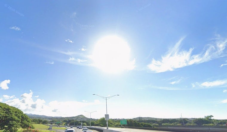
Honolulu gets a classic trade-wind split Wednesday: sunny skies and an 86-degree high, but east-northeast winds could gust to 31 mph. The pattern stays mostly dry today before brief showers become more likely from Thursday into the weekend.
The National Weather Service Honolulu forecast calls for an overnight low near 77 degrees, followed by another warm day Thursday. Isolated showers could pass through before noon Thursday, with a 20% chance of rain and mostly sunny skies returning later.
Afternoon Winds Keep The Day Breezy
Wednesday’s east-northeast trades will run around 17 to 22 mph, with gusts as high as 31 mph during the afternoon. Windward and mauka slopes may catch a brief shower, while much of Honolulu stays dry and bright.
Weekend Showers Become More Noticeable
Friday follows a similar script, with isolated morning showers, an 86-degree high and gusts up to 24 mph. Shower chances rise to 40% Saturday and 30% Sunday, mainly before noon, though both days are expected to turn mostly sunny afterward.
South Swell Meets Choppy Trade-Wind Surf
A long-period south swell is expected to fill in Wednesday and peak Thursday into Friday, potentially pushing surf toward advisory levels before fading over the weekend. East-facing shores will remain rough and choppy from persistent trades, while north-facing shores stay tiny to flat, according to the weather service.
Boaters heading toward Maui County or Big Island waters should note that a Small Craft Advisory remains in effect until 6 a.m. Thursday for the Alenuihaha Channel, Big Island leeward and southeast waters, Maalaea Bay and the Pailolo Channel.



