

























































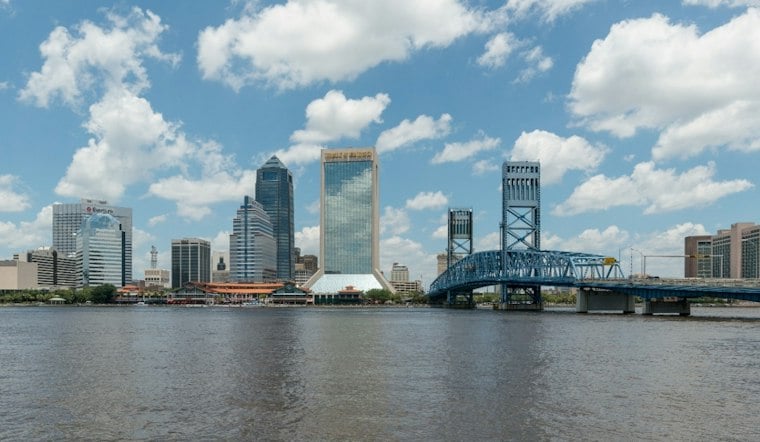
Jacksonville will be warm Thursday, with a high near 87. Isolated coastal showers are possible, but the bigger story will be a breezy northeast wind and dangerous surf along the beaches.
Brief Morning Showers Give Way To Sunshine
The forecast calls for isolated coastal showers Thursday. Northeast winds will run 10 to 15 knots, with gusts reaching 20 to 25 knots after 14Z, while Thursday temperatures reach the upper 80s.
Thursday night should have a low around 74. Friday is expected to be mainly partly cloudy, with isolated to scattered showers and a few thunderstorms, a high near 89 and a slight chance of showers or a thunderstorm during the afternoon, according to the National Weather Service Jacksonville office.
High Rip Current Risk Continues At The Beaches
A high rip current risk remains in effect through late Thursday night for Northeast Florida beaches, with rough surf expected. Beachgoers should swim near a lifeguard, avoid fighting the current if caught in one and follow posted beach warnings, the National Weather Service advises.
Storm Chances Build This Weekend
Saturday stays hot near 88 degrees, but shower and thunderstorm chances rise to about 30%, with a few heavy downpours possible. Sunday looks wetter, with scattered to numerous showers and thunderstorms. The forecast includes daily chances for showers and thunderstorms Monday through Wednesday.
The shift toward a stormier pattern adds a new wrinkle to the breezy beach forecast covered by Hoodline Wednesday. For now, Thursday offers a decent window for outdoor plans away from the surf, especially after the morning showers clear.





