

























































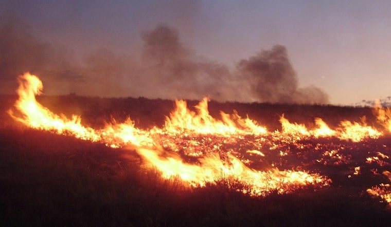
A wildfire dubbed the Burrell Fire broke out on private land in San Diego County, and updated reports confirm it burned only about 0.3 acres. The blaze first surfaced Sunday through an automated alert built on federal wildfire data, with no containment percentage or cause listed at the time.
How the Fire First Reached the Public
The initial report came from an automated system, as detailed by the Sacramento Bee, which credited the National Interagency Fire Center as the source of the fire's location and basic details. That early version of the story listed no containment information and no known cause, a common gap in the first minutes after a new ignition is logged into federal systems. The Bee's report presented the fire's location and basic details from NIFC data.
By Sunday, the story notes, updated reporting confirmed the fire's small footprint, showing that the reported burn area remained a fraction of an acre. The fire is burning on private land, per the original Sacramento Bee report, placing it under a familiar jurisdictional arrangement for backcountry blazes in the region.
Who Responds to Small Fires Like This One
CAL FIRE's San Diego Unit is identified in the agency's strategic plan, according to CAL FIRE. The agency also provides incident information and a fire map.
Detection Technology Fills a Gap Left by Idle Lookout Towers
Early detection across the county increasingly relies on ALERTCalifornia, a UC San Diego-based public safety program that maintained a network of more than 1,200 high-definition, pan-tilt-zoom cameras equipped with AI detection tools statewide as of February, according to the program itself. That camera network has taken on added importance since historic fire lookout towers across San Diego County, including High Point on Palomar Mountain and Los Pinos, were left unstaffed for the 2026 fire season due to six-figure repair estimates and structural issues, as Hoodline previously reported. Volunteers who once staffed those towers typically relayed smoke sightings to the U.S. Forest Service office colocated with CAL FIRE in El Cajon.
County emergency officials also lean on other systems when fires do escalate, issuing localized evacuation notices and real-time mapping through Genasys Protect and sending automated phone notifications through AlertSanDiego.
A Familiar Pattern in a High-Risk County
The Burrell Fire's initial public report came through an automated federal alert.
San Diego County's history with fire helps explain why even a 0.3-acre spot fire draws quick agency monitoring. The county's most destructive blazes, including the 2003 Cedar Fire, which burned 280,278 acres, and the 2007 Witch Creek Fire, are part of that history, according to Frontline Wildfire Defense. Those fires established a local precedent in which rapid detection and monitoring apply even to the smallest ignitions, since a spark can turn catastrophic quickly under the right weather.
Property owners in high fire hazard zones also face defensive measures tied to that history. The discussion reflects broader wildfire-safety concerns.
As of the most recent reporting, the cause of the Burrell Fire remained unconfirmed, and no additional containment updates had been issued beyond confirmation of its small, 0.3-acre size.



